Area Overview for Hemblington
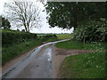
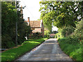
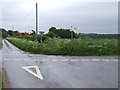
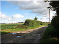
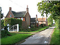
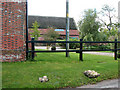
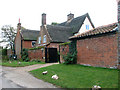
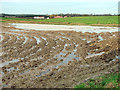
Photos of Hemblington


Area Information
Living in Hemblington offers a quiet life within a compact civil parish covering just three square kilometres. This small parish sits in England, providing a defined boundary for a close-knit community. You will find that daily life here is intimate, with every local road and amenity easily accessible across the limited footprint of the area. The setting is largely localised, lacking the sprawl of larger towns while maintaining a distinct identity. Residents move through a small but complete neighbourhood where distances remain manageable. The character of Hemblington suggests a retirement or settled community rather than a young urban hub. The physical limits of the land create a sense of enclosure that many find appealing for those seeking a peaceful existence. You navigate the parish without the traffic congestion found in bigger settlements. The area functions as a self-contained unit where the boundary of the civil parish aligns closely with where most daily activities occur. Prospective buyers seeking seclusion will appreciate the small scale. The total area restricts development significantly, preserving the current layout of streets and properties. This scarcity of land often limits competition if you wish to secure permanent residency. The environment supports a slower pace of life, which suits households prioritising tranquillity over urban excitement. Hemblington remains a straightforward choice for those who value space and quiet above proximity to major commercial centres.
- Area Type
- Parish
- Area Size
- 3.0 km²
- Population
- Not available
- Population Density
- Not available
Demographics
The community within Hemblington reflects a distinctly mature demographic profile. The median age stands at exactly 70 years, indicating that the population skews heavily towards older residents. This age distribution suggests that most households are likely retired couples or single individuals rather than young families with children. You will not find a population dominated by school-aged children in this specific context. Home ownership is extremely prevalent, with 76 per cent of residents owning their home outright or with a mortgage. This high level of tenure signals long-term stability within the community. Fewer people rent here compared to markets where mobility is a primary driver. The dominance of owner-occupied dwellings means that turnover rates are likely lower than in the wider county. Accommodation types centre on ownership, reinforcing the picture of a settled population. The data indicates that the household composition follows the broader demographic trend of this specific age group. There is no significant presence of students or temporary workers disrupting the social fabric. The ethnic and religious diversity data aggregates into the total population figure available for this civil parish. Your life here will be surrounded by neighbours who have remained in their homes for many years, creating a predictable and steady social environment.
Household Size
Accommodation Type
Tenure
Ethnic Group
Religion
Household Composition
Age
Household Deprivation
NS-SEC
Explore more demographic insights in this area
Go to Demographics tabPlanning
Planning Constraints
- Flood RiskPremium
- Ramsar Wetland SitesPremium
- Area of Outstanding Natural BeautyPremium
- Protected Nature ReservePremium
- Protected WoodlandPremium
- Crime RiskPremium