Area Overview for Haverhill South Ward
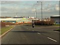
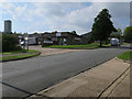
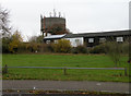
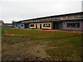
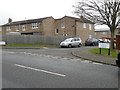
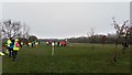
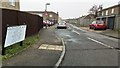
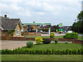
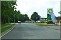
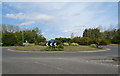
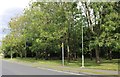
Photos of Haverhill South Ward

Area Information
Haverhill South Ward forms part of the town of Haverhill in West Suffolk, England. This electoral ward covers an area of 3.8 km² near the borders with Essex and Cambridgeshire. The location sits at approximately 52.07495°N, 0.42311°E, placing it in the East of England region. You will find the area includes a public park, playing fields, and sports facilities alongside Horsham Hall. The broader town features historical sites including Anne of Cleves' House and the Corn Exchange, built in 1889. Haverhill dates back to Anglo-Saxon times with its market recorded in the Domesday Book of 1086. The town expanded significantly after 1956 as a settlement for people moving away from London. Living in Haverhill South Ward means residing within a market town that has deep historical roots yet has modern extensions.
- Area Type
- District Borough Unitary Ward
- Area Size
- 3.8 km²
- Population
- Not available
- Population Density
- Not available
Demographics
The community in Haverhill South Ward has a distinct age profile. The median age for residents is 70 years. This indicates the population consists largely of older adults. The ward shows a home ownership rate of 47%. Half the residents live in homes they own, while the other half rent. Household composition data for this ward is available in the total records. Accommodation type statistics also exist for the entire ward. There is no specific data provided regarding the predominant ethnic group or religious makeup for this specific ward. These broader categories exist for the total population. You are joining an area with a clear majority of senior residents. The high median age suggests a quieter lifestyle compared to younger urban centres.
Household Size
Accommodation Type
Tenure
Ethnic Group
Religion
Household Composition
Age
Household Deprivation
NS-SEC
Explore more demographic insights in this area
Go to Demographics tabPlanning
Planning Constraints
- Flood RiskPremium
- Ramsar Wetland SitesPremium
- Area of Outstanding Natural BeautyPremium
- Protected Nature ReservePremium
- Protected WoodlandPremium
- Crime RiskPremium