Area Overview for Haverhill Central Ward
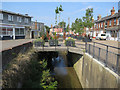
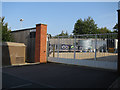
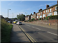
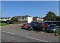
Photos of Haverhill Central Ward
Area Information
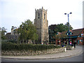
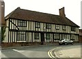
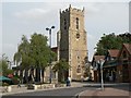
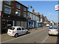
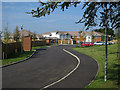
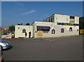
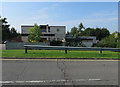
Living in Haverhill Central Ward offers a compact residential experience grounded in the town's historic character. This electoral ward covers just 1.1 square kilometres within the West Suffolk district, placing it at approximately 52.08°N 0.44°E near the borders of Essex and Cambridgeshire. The location sits about 14 miles southeast of Cambridge and 47 miles northeast of central London. You are essentially living in the heart of a market town, with immediate access to key landmarks such as St Mary's Church and the expansive Haverhill Recreation Ground. The Cangle area lies nearby, contributing to the broader local landscape. Transport links rely heavily on the A1307 road, which provides the main connection toward Cambridge. You are relatively close to major arterial routes including the A11, A14, and M11 motorway. You must expect congestion during commuter times when using these motorways. The limited size of the ward suggests a tight-knit neighbourhood where daily life revolves around local amenities and established community spaces rather than sprawling suburbs.
- Area Type
- District Borough Unitary Ward
- Area Size
- 1.1 km²
- Population
- Not available
- Population Density
- Not available
Demographics
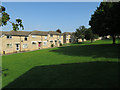
The community profile within Haverhill Central Ward reflects a distinctly older population demographic. The median age here is 70 years, indicating that the majority of residents are seniors. This age concentration shapes the social rhythm of the ward significantly. Sixty percent of households in this area are owner-occupied, a figure that highlights strong residential stability and private ownership within this community. The data does not provide specific breakdowns for private sector dwellings versus social housing, but the high ownership rate suggests a traditional residential stock. You will find that household composition varies, though the elderly median age points toward retirees or established families living in settled households. Ethical diversity and religious affiliation data are not specified in the current overview, so the area's cultural mix remains part of the general town fabric without detailed ward-level statistics. For those considering moving here, the environment caters largely to those seeking quieter, long-term settlement rather than dynamic student hubs or young professional enclaves. The high home ownership rate means that vacancies often compete with existing residents rather than transient tenants.
Household Size
Accommodation Type
Tenure
Ethnic Group
Religion
Household Composition
Age
Household Deprivation
NS-SEC
Explore more demographic insights in this area
Go to Demographics tabPlanning
Planning Constraints
- Flood RiskLocked
- Ramsar Wetland SitesLocked
- Area of Outstanding Natural BeautyLocked
- Protected Nature ReserveLocked
- Protected WoodlandLocked
- Crime RiskLocked