Area Overview for Harling & Heathlands Ward
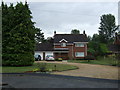
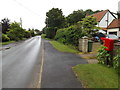
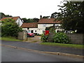
Photos of Harling & Heathlands Ward

Area Information
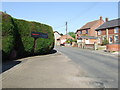
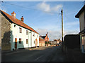
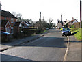
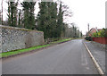
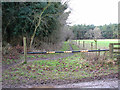
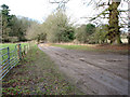
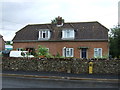
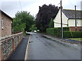
Living in Harling & Heathlands Ward offers a distinct rural experience within the Breckland district of Norfolk. This electoral ward encompasses the civil parish of Harling, including the village of East Harling, situated at 52.44011°N 0.93076°E on the banks of the River Thet. You are approximately eight miles from Thetford and twenty-five miles south-west of Norwich. The territory covers 57.7 km², providing ample space for a low-density lifestyle without the isolation often found in the countryside. Residents enjoy the tranquility of the River Thet estuary while remaining connected to the wider Norfolk network. The ward sits within the Mid Norfolk constituency and the South West Norfolk parliamentary constituency, ensuring representation in local governance. Daily life here centres on village amenities and access to the natural environment that defines this part of rural Norfolk.
- Area Type
- District Borough Unitary Ward
- Area Size
- 57.7 km²
- Population
- Not available
- Population Density
- Not available
Demographics
The community in Harling & Heathlands Ward has a very senior population profile with a median age of 70. The most common age range recorded is Age: Total, indicating a significant concentration of older residents. Over three quarters of people, specifically 75%, own their homes outright or via mortgage. This high home ownership rate suggests a long-term settled population rather than transient city dwellers seeking temporary accommodation. The ward lacks specific data on household composition breakdowns, predominant ethnic groups, and religious affiliations in the provided records. Consequently, the visible community structure relies heavily on older homeowners settling in the village. This demographic trend shapes the local culture, with a focus on stability and investment in properties. You are unlikely to find the bustling, transient atmosphere associated with university towns or major employment hubs. Instead, the daily rhythm aligns with the pace of retirement living and rural habitation.
Household Size
Accommodation Type
Tenure
Ethnic Group
Religion
Household Composition
Age
Household Deprivation
NS-SEC
Explore more demographic insights in this area
Go to Demographics tabPlanning
Planning Constraints
- Flood RiskPremium
- Ramsar Wetland SitesPremium
- Area of Outstanding Natural BeautyPremium
- Protected Nature ReservePremium
- Protected WoodlandPremium
- Crime RiskPremium