Area Overview for Hargrave
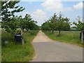
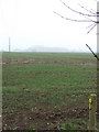
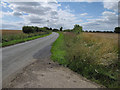
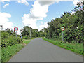
Photos of Hargrave
Area Information
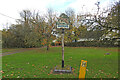
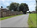
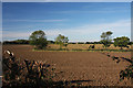
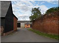
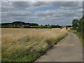
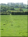
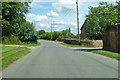
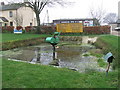
Hargrave is a small civil parish situated in the West Suffolk district of eastern England. The area covers 7.2 km² and lies approximately 7 miles south-west of Bury St Edmunds. You will find the village at the crossroads of roads connecting Ousden, Lady's Green, and Chevington. The setting is rural, dominated by arable farmland, woodland, and an undulating landscape that reaches one of Suffolk's highest points. Around 120 dwellings form a linear pattern of development along Bury Road, serving as the main spine of the community. Near this central route, you will find two churches and a village hall that anchor local life. The hamlets within the parish offer long-distance views and strong countryside connections via a network of public footpaths. Neighbourhood planning emphasises high-quality design that remains sympathetic to the historic grain and heritage of the area. Properties here are built with care to respect the existing character rather than imposing modern styles on the landscape. This approach results in a cohesive environment where the built structures blend naturally with the surrounding fields and trees. Residents enjoy a community-focused atmosphere that values conservation over rapid expansion. The parish maintains its identity through these principles even as modern requirements for digital connectivity and transportation evolve.
- Area Type
- Parish
- Area Size
- 7.2 km²
- Population
- Not available
- Population Density
- Not available
Demographics
Life in Hargrave reflects a quiet, established community with significant stability. The population is predominantly older, with a median age of 70 years. Most residents fall into the older age bracket, suggesting a village that serves as a retirement destination or a home for those retiring locally. Around 71% of households own their homes outright, indicating a legacy property market rather than a transient rental sector. This high level of ownership points to long-term residents who are invested in the local character and infrastructure. The remaining 29% likely consists of renters or shared houses, though specific breakdowns for these groups are not detailed in the available figures. The area does not report specific data on household composition types or predominant ethnic groups, which often means the population is relatively homogenous and aligned with broader national trends for rural parishes. There is no indication of high deprivation within the community based on the provided assessment levels. The presence of such a high percentage of owner-occupiers typically correlates with steadier neighbourhoods where families and established couples remain for decades. This demographic profile creates a calm environment where the primary concerns are often related to healthcare access and local amenities suited to older adults. You will find a community where generational ties run deep and change happens gradually.
Household Size
Accommodation Type
Tenure
Ethnic Group
Religion
Household Composition
Age
Household Deprivation
NS-SEC
Explore more demographic insights in this area
Go to Demographics tabPlanning
Planning Constraints
- Flood RiskPremium
- Ramsar Wetland SitesPremium
- Area of Outstanding Natural BeautyPremium
- Protected Nature ReservePremium
- Protected WoodlandPremium
- Crime RiskPremium