Area Overview for Halesworth & Blything Ward
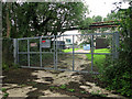
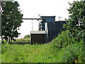
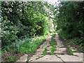
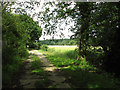
Photos of Halesworth & Blything Ward

Area Information
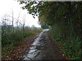
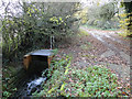
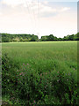
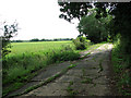
Living in Halesworth & Blything Ward offers a distinct experience defined by its location beside the River Blyth and its role as a historic market town. This district borough unitary ward covers 64.6 km² within East Suffolk Council, encompassing the town centre and surrounding countryside in the Blyth Valley. The area sits approximately 10 miles from the Suffolk coast, providing a blend of rural tranquillity and accessible amenities for residents. Halesworth's history traces back to Roman settlements and late Saxon remains, with its main shopping street, the Thoroughfare, featuring pedestrianised zones and 16th-century buildings. Daily life often involves a connection to local produce, such as Blythburgh pork, or exploring sites like the largest UK Millennium Green, which spans 44 to 50 acres of wildlife-friendly marsh. The community benefits from cultural assets including The Cut Arts Centre and the Halesworth and District Museum, which documents local history from the Bronze Age to aviation. Access to the area is enhanced by the adjacent East Suffolk railway line at Halesworth station and the nearby A12 road, facilitating travel to coastal resorts like Southwold. For those seeking homes in Halesworth & Blything Ward, the setting offers a traditional character rooted in malting, brewing, and agriculture, yet modernised by contemporary arts and heritage trails.
- Area Type
- District Borough Unitary Ward
- Area Size
- 64.6 km²
- Population
- Not available
- Population Density
- Not available
Demographics
The community within Halesworth & Blything Ward reflects an ageing population profile, with a median age of 70. This demographic trend suggests the area is popular among retirees or small businesses targeting an older client base. Home ownership stands at 69%, indicating a established residential base where most residents have purchased their properties rather than renting. While data on specific household composition and ethnic preferences is not granular in the provided records, general analysis shows an ethnic diversity of 98.9% white residents based on the 2011 Census. This low diversity level points to a community with deep local roots rather than significant recent in-migration from other cultural backgrounds. Deprivation levels are moderate for the region, suggesting that while the area is not financially affluent, social services remain accessible enough to maintain a functional quality of life. The lack of major business parks means the local economy relies heavily on traditional retail, tourism, and agriculture. Residents here likely value community stability over rapid economic shifts. Those considering living in Halesworth & Blything Ward should expect a slower pace of life aligned with an older demographic and a strong sense of continuity in household structures.
Household Size
Accommodation Type
Tenure
Ethnic Group
Religion
Household Composition
Age
Household Deprivation
NS-SEC
Explore more demographic insights in this area
Go to Demographics tabPlanning
Planning Constraints
- Flood RiskPremium
- Ramsar Wetland SitesPremium
- Area of Outstanding Natural BeautyPremium
- Protected Nature ReservePremium
- Protected WoodlandPremium
- Crime RiskPremium