Area Overview for Goldington Ward
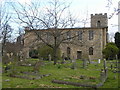
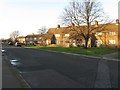
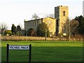
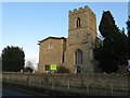
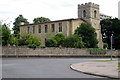
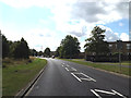
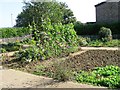
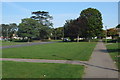
Photos of Goldington Ward

Area Information
Goldington Ward is a distinct suburb within Bedford, situated in the Eastern region of England. This district borough unitary ward covers a compact area of 2.1 km², placing it within a dense urban context. Its boundaries are clearly defined, stretching from Norse Road and Cemetery to the north and east, down to Goldington Road in the south, and west along Church Lane and Haylands Way. Central coordinates place the heart of the ward around 52.1485°N, -0.4257°W, offering residents a precise sense of location near Putnoe and Newnham. The area functions as a self-contained community with specific civic institutions serving its administrative needs. St Mary's Church Hall and Church Lane Community Centre operate as polling stations, anchoring the ward's local governance structure. Living in Goldington Ward means residing in a defined residential zone with established infrastructure. The proximity to neighbouring settlements like Putnoe and Newnham suggests integration into a wider suburban network. Prospective residents find themselves in a ward where geography is strictly bounded, ensuring that daily commutes and local navigation remain predictable. The ward's identity is rooted in its status as a specific electoral and administrative entity within the larger borough. It is not merely a random collection of houses but a formal district with named thoroughfares and recognized community hubs. This structured layout supports a routine lifestyle where local authorities maintain clear responsibilities for infrastructure and order.
- Area Type
- District Borough Unitary Ward
- Area Size
- 2.1 km²
- Population
- Not available
- Population Density
- Not available
Demographics
The community profile of Goldington Ward presents a mature demographic picture. The median age for residents is exactly 70 years, indicating a population composed largely of older adults. This age distribution significantly shapes the character of daily life in the ward. While specific breakdowns for total households or accommodation types are recorded in the data, the dominant age factor points toward a retirement-oriented environment. Home ownership stands at 55%, meaning just over half of the residents own their residences outright or with a mortgage. This figures suggests a balanced mix of owner-occupiers and renters, though the high median age often correlates with a stable, long-term resident base. Diversity metrics for ethnicity, religion, and detailed household composition are recorded but do not show specific numerical breakdowns in the available records. The absence of specific ethnic or religious percentages prevents a detailed analysis of cultural variety within this specific ward boundary. However, the overall demographic skew toward an older population is a definitive fact derived from national census data applied to this area. Residents here likely rely on services tailored to an ageing demographic, such as accessible transport and local health facilities, although those specific service levels are not detailed in the current dataset. The consistent age profile means that neighbours have likely lived in their homes for many years, creating a stable social fabric. Understanding who lives here requires acknowledging this high median age as the primary defining characteristic of the ward's social structure.
Household Size
Accommodation Type
Tenure
Ethnic Group
Religion
Household Composition
Age
Household Deprivation
NS-SEC
Explore more demographic insights in this area
Go to Demographics tabPlanning
Planning Constraints
- Flood RiskPremium
- Ramsar Wetland SitesPremium
- Area of Outstanding Natural BeautyPremium
- Protected Nature ReservePremium
- Protected WoodlandPremium
- Crime RiskPremium