Area Overview for Gayton & Grimston Ward
Photos of Gayton & Grimston Ward
Area Information
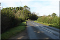
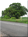
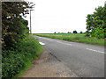
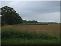
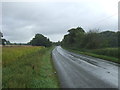
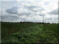
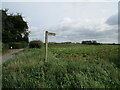
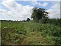
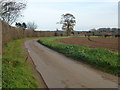
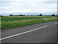
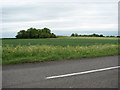
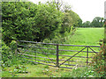
Living in Gayton & Grimston Ward offers a distinct experience within the larger context of the King's Lynn and West Norfolk district. This modern electoral ward stretches across an area of 106.2 km², encompassing the civil parishes of Gayton and Grimston. The village of Grimston sits approximately 5.7 miles east of King's Lynn and positions you 33 miles north-west of Norwich. As of June 2024, the ward held a population of 6,030, reflecting a settled community rather than a rapidly expanding urban centre. You are living in a location with deep historical roots, where Grimston itself developed along a spring line and once hosted Roman villas, an heritage that remains visible in local architecture. Salvaged red bricks from these ancient sites appear on the walls and buttresses of St Botolph's Church in Grimston. The area also sits in the royal shadow of the nearby Sandringham House residence. This combination of historical depth, proximity to a royal estate, and relative isolation from major city centres defines the daily rhythm of life here. You benefit from a suburban setting while retaining a connection to the wider Norfolk landscape.
- Area Type
- District Borough Unitary Ward
- Area Size
- 106.2 km²
- Population
- Not available
- Population Density
- Not available
Demographics
The community profile of Gayton & Grimston Ward reveals a largely established population. The median age within the ward stands at 70, indicating a demographic heavily weighted towards older residents. This age distribution suggests that the local facilities and atmosphere cater primarily to retirement needs or families with older relatives rather than young professionals or students. Home ownership is the dominant form of accommodation, with 72% of households owning their properties outright or with a mortgage. This implies a stable environment where residents have long-term ties to their homes rather than a transient rental turnover. The data provided does not specify the breakdown of household composition regarding family size or single-person households, nor does it offer detailed statistics on predominant ethnic groups or religious affiliations. Consequently, the narrative focuses on the primary economic indicator of residence. The high ownership rate of 72% reinforces the idea that this is an area suited for buyers looking to settle down for the duration of their retirement or later life stages. You are entering a neighbourhood where life is typically anchored in ownership rather than tenancy.
Household Size
Accommodation Type
Tenure
Ethnic Group
Religion
Household Composition
Age
Household Deprivation
NS-SEC
Explore more demographic insights in this area
Go to Demographics tabPlanning
Planning Constraints
- Flood RiskPremium
- Ramsar Wetland SitesPremium
- Area of Outstanding Natural BeautyPremium
- Protected Nature ReservePremium
- Protected WoodlandPremium
- Crime RiskPremium