Area Overview for Framingham Earl
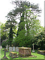
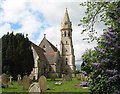
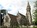
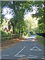
Photos of Framingham Earl
Area Information
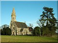
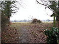
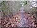
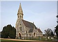
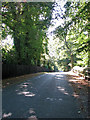
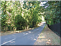
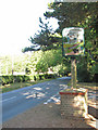
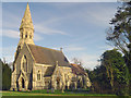
Living in Framingham Earl offers a settled pace for those seeking a rural community within Norfolk. This civil parish covers a compact 2.6 km², creating a dense yet calm environment where residents know their neighbours. The area is defined by its quiet character, far removed from the noise of urban centres. You will find a strong sense of local identity here, supported by close-knit community ties that have developed over many decades. Daily life in Framingham Earl revolves around local amenities and the surrounding countryside. The small size of the parish means that distance from home to local facilities is minimal. This proximity to green spaces allows you to enjoy walks or garden time immediately after leaving your property. The setting provides a peaceful backdrop for everyday activities without the need for long commutes across the county. Many individuals choose Framingham Earl for its stability and connection to nature. The village offers a practical living situation where you can manage household chores and leisure time without significant travel. Its location near larger towns provides access to broader services while maintaining a distinct rural feel. This balance makes it an attractive option for people who value privacy and tranquility. The area retains its traditional charm, offering a living experience focused on simplicity and community interaction.
- Area Type
- Parish
- Area Size
- 2.6 km²
- Population
- Not available
- Population Density
- Not available
Demographics
The community in Framingham Earl is distinctly older than the national average, reflecting a shift in population dynamics over recent years. Analysis of the demographic data shows a median age of 70, indicating that the majority of residents are retired or approaching retirement. This age profile suggests a neighbourhood where life moves at a slower, more deliberate pace. Home ownership stands at 83% within the parish, creating a landscape dominated by permanent residents rather than temporary tenants. This high level of ownership implies that many households have built their lives here, rooted in the locality. The high proportion of owner-occupiers often correlates with longer-term stability in the community. You are likely to encounter neighbours who have lived in their homes for decades, fostering strong local bonds. Accommodation types in Framingham Earl align with this demographic, likely consisting of houses suited to older occupants. The household composition reflects families of two people and singles, alongside empty nesters and those living alone. Ethnic diversity spans the region, though specific percentages are not detailed in current records. The absence of specific religious data prevents a full breakdown of spiritual affiliations. Deprivation indices are not provided, but the high home ownership rate suggests financial stability among the bulk of the population.
Household Size
Accommodation Type
Tenure
Ethnic Group
Religion
Household Composition
Age
Household Deprivation
NS-SEC
Explore more demographic insights in this area
Go to Demographics tabPlanning
Planning Constraints
- Flood RiskPremium
- Ramsar Wetland SitesPremium
- Area of Outstanding Natural BeautyPremium
- Protected Nature ReservePremium
- Protected WoodlandPremium
- Crime RiskPremium