Area Overview for EN9 2LU
Photos of EN9 2LU
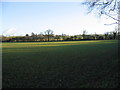
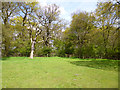
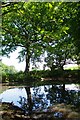
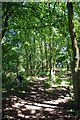
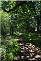
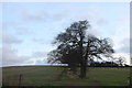
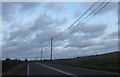
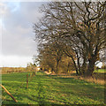
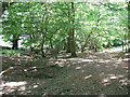
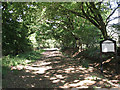
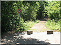
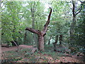
20 photos from this area
Area Information
Key information about the EN9 2LU including its size, population, and administrative classification.
- Area Type
- Postcode
- Area Size
- 34.9 hectares
- Population
- 2294
- Population Density
- 81 people/km²
House Prices in EN9 2LU
17
Properties
£453,375
Average Sold Price
£275,000
Lowest Price
£680,000
Highest Price
Showing 17 properties
| Address | Type | Beds | Baths | Last Sale Price | Last Sale Date | |
|---|---|---|---|---|---|---|
| Valley View, Waltham Road, Nazeing, Waltham Abbey, EN9 2LU | Detached | 4 | 1 | £512,500 | Oct 2025 | |
| Campions, Waltham Road, Nazeing, Waltham Abbey, EN9 2LU | Detached | 4 | 2 | £680,000 | Apr 2016 | |
| Wyndith, Waltham Road, Nazeing, Waltham Abbey, EN9 2LU | house | 2 | - | £275,000 | Dec 2012 | |
| The Cottage, Waltham Road, Nazeing, Waltham Abbey, EN9 2LU | Semi-detached | - | - | £346,000 | Jun 2004 | |
| Salem, Waltham Road, Nazeing, Waltham Abbey, EN9 2LU | Semi-detached | 4 | 2 | - | - | |
| Jamesmead, Waltham Road, Nazeing, Waltham Abbey, EN9 2LU | Bungalow | 1 | 1 | - | - | |
| Selways, Waltham Road, Nazeing, Waltham Abbey, EN9 2LU | Detached | - | - | - | - | |
| Pillar Box Cottage, Waltham Road, Nazeing, Waltham Abbey, EN9 2LU | Detached | - | - | - | - | |
| St Lawrence Farm, Waltham Road, Nazeing, Waltham Abbey, EN9 2LU | Detached | - | - | - | - | |
| Mamelons Caravan Park, Waltham Road, Nazeing, Waltham Abbey, EN9 2LU | Leisure | - | - | - | - |
Page 1 of 2
Energy Efficiency in EN9 2LU
Amenities
Schools
| Rank | School | Type | Entry gender | Ages |
|---|
Explore more schools in this area
Go to Schools tabDemographics
Household Size
Family (3-5 people)
most common
Accommodation Type
Houses
most common
Tenure
80
majority
Ethnic Group
White
most common
Religion
N/A
most common
Household Composition
N/A
most common
Age
47
median
Adults (30-64 years)
most common
Household Deprivation
N/A
with no deprivation
NS-SEC
37
in Lower managerial occupations
Explore more demographic insights in this area
Go to Demographics tabPlanning
Planning Constraints
- Flood RiskPremium
- Ramsar Wetland SitesPremium
- Area of Outstanding Natural BeautyPremium
- Protected Nature ReservePremium
- Protected WoodlandPremium