Area Overview for EN9 2AG
Photos of EN9 2AG
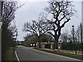
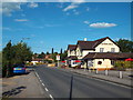
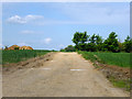
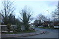
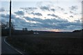
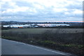
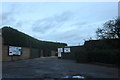
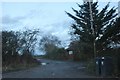
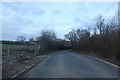
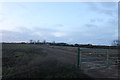

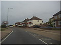
19 photos from this area
Area Information
Key information about the EN9 2AG including its size, population, and administrative classification.
- Area Type
- Postcode
- Area Size
- 32.1 hectares
- Population
- 1255
- Population Density
- 101 people/km²
House Prices in EN9 2AG
18
Properties
£350,000
Average Sold Price
£350,000
Lowest Price
£350,000
Highest Price
Showing 18 properties
| Address | Type | Beds | Baths | Last Sale Price | Last Sale Date | |
|---|---|---|---|---|---|---|
| Galley Hill House, Galleyhill Road, Waltham Abbey, EN9 2AG | storage | 6 | - | £350,000 | Dec 1999 | |
| The Barns, Patches Farm, Galleyhill Road, Waltham Abbey, EN9 2AG | Detached | 6 | 2 | - | - | |
| Heathfield Nursery, Galleyhill Road, Waltham Abbey, EN9 2AG | Farm | - | - | - | - | |
| Abbey View Produce Ltd, Galleyhill Road, Waltham Abbey, EN9 2AG | office_workshop | - | - | - | - | |
| Arrow Service Centre, Unit 11, Galleyhill Road, Waltham Abbey, EN9 2AG | Industrial | - | - | - | - | |
| Unit 6, Galleyhill Road, Waltham Abbey, EN9 2AG | shop | - | - | - | - | |
| Unit 20, Galleyhill Road, Waltham Abbey, EN9 2AG | shop | - | - | - | - | |
| Unit 2, Galleyhill Road, Waltham Abbey, EN9 2AG | shop | - | - | - | - | |
| Unit 9, Galleyhill Road, Waltham Abbey, EN9 2AG | shop | - | - | - | - | |
| T L Safety Systems Ltd, Unit 21, Galleyhill Road, Waltham Abbey, EN9 2AG | warehouse | - | - | - | - |
Page 1 of 2
Energy Efficiency in EN9 2AG
Amenities
Schools
| Rank | School | Type | Entry gender | Ages |
|---|
Explore more schools in this area
Go to Schools tabDemographics
Household Size
One person
most common
Accommodation Type
Houses
most common
Tenure
80
majority
Ethnic Group
White
most common
Religion
N/A
most common
Household Composition
N/A
most common
Age
47
median
Adults (30-64 years)
most common
Household Deprivation
N/A
with no deprivation
NS-SEC
26
in Lower managerial occupations
Explore more demographic insights in this area
Go to Demographics tabPlanning
Planning Constraints
- Flood RiskPremium
- Ramsar Wetland SitesPremium
- Area of Outstanding Natural BeautyPremium
- Protected Nature ReservePremium
- Protected WoodlandPremium