Area Overview for EN9 1QU
Photos of EN9 1QU
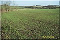
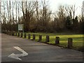
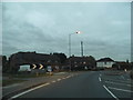
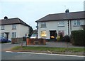
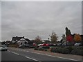
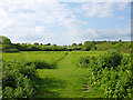
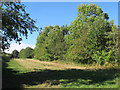
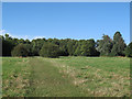
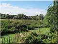
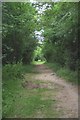
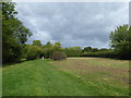
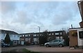
28 photos from this area
Area Information
Key information about the EN9 1QU including its size, population, and administrative classification.
- Area Type
- Postcode
- Area Size
- 68.3 hectares
- Population
- 1255
- Population Density
- 101 people/km²
House Prices in EN9 1QU
14
Properties
£203,667
Average Sold Price
£96,500
Lowest Price
£345,000
Highest Price
Showing 14 properties
| Address | Type | Beds | Baths | Last Sale Price | Last Sale Date | |
|---|---|---|---|---|---|---|
| 111 Crooked Mile, Waltham Abbey, EN9 1QU | house | 2 | 1 | £345,000 | Oct 2020 | |
| 109 Crooked Mile, Waltham Abbey, EN9 1QU | Semi-detached | - | - | £272,500 | May 2008 | |
| 117 Crooked Mile, Waltham Abbey, EN9 1QU | house | - | - | £220,000 | Nov 2007 | |
| 95 Crooked Mile, Waltham Abbey, EN9 1QU | Semi-detached | 5 | 2 | £173,000 | Nov 2001 | |
| 103 Crooked Mile, Waltham Abbey, EN9 1QU | Semi-detached | - | - | £115,000 | Jun 2000 | |
| 101 Crooked Mile, Waltham Abbey, EN9 1QU | Semi-detached | - | - | £96,500 | Dec 1999 | |
| 113 Crooked Mile, Waltham Abbey, EN9 1QU | Semi-detached | 3 | 1 | - | - | |
| 107 Crooked Mile, Waltham Abbey, EN9 1QU | Semi-detached | 4 | 1 | - | - | |
| 99 Crooked Mile, Waltham Abbey, EN9 1QU | Semi-detached | - | - | - | - | |
| 91 Crooked Mile, Waltham Abbey, EN9 1QU | Semi-detached | - | - | - | - |
Page 1 of 2
Energy Efficiency in EN9 1QU
Amenities
Schools
| Rank | School | Type | Entry gender | Ages |
|---|
Explore more schools in this area
Go to Schools tabDemographics
Household Size
One person
most common
Accommodation Type
Houses
most common
Tenure
80
majority
Ethnic Group
White
most common
Religion
N/A
most common
Household Composition
N/A
most common
Age
47
median
Adults (30-64 years)
most common
Household Deprivation
N/A
with no deprivation
NS-SEC
26
in Lower managerial occupations
Explore more demographic insights in this area
Go to Demographics tabPlanning
Planning Constraints
- Flood RiskPremium
- Ramsar Wetland SitesPremium
- Area of Outstanding Natural BeautyPremium
- Protected Nature ReservePremium
- Protected WoodlandPremium