Area Overview for EN8 9EX
Photos of EN8 9EX
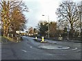
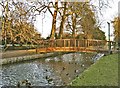
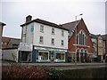
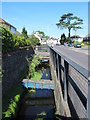
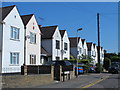
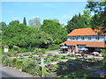
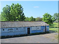
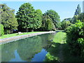
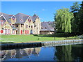
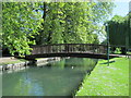
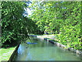
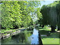
48 photos from this area
Area Information
Key information about the EN8 9EX including its size, population, and administrative classification.
- Area Type
- Postcode
- Area Size
- 3739 m²
- Population
- 1368
- Population Density
- 6244 people/km²
House Prices in EN8 9EX
7
Properties
£258,942
Average Sold Price
£102,000
Lowest Price
£439,995
Highest Price
Showing 7 properties
| Address | Type | Beds | Baths | Last Sale Price | Last Sale Date | |
|---|---|---|---|---|---|---|
| 121 Great Cambridge Road, Cheshunt, EN8 9EX | Detached | 3 | 1 | £430,000 | Aug 2025 | |
| 119 Great Cambridge Road, Cheshunt, EN8 9EX | Semi-detached | 4 | 2 | £439,995 | Oct 2015 | |
| 125 Great Cambridge Road, Cheshunt, EN8 9EX | Semi-detached | - | - | £235,000 | Aug 2004 | |
| 123 Great Cambridge Road, Cheshunt, EN8 9EX | Semi-detached | - | - | £230,000 | Mar 2004 | |
| 129 Great Cambridge Road, Cheshunt, EN8 9EX | Semi-detached | - | - | £250,000 | Jan 2004 | |
| 127 Great Cambridge Road, Cheshunt, EN8 9EX | Semi-detached | - | - | £125,600 | Aug 2000 | |
| Sutera, 131 Great Cambridge Road, Cheshunt, EN8 9EX | house | - | - | £102,000 | Oct 1998 |
Energy Efficiency in EN8 9EX
Amenities
Schools
| Rank | School | Type | Entry gender | Ages |
|---|
Explore more schools in this area
Go to Schools tabDemographics
Household Size
Family (3-5 people)
most common
Accommodation Type
Houses
most common
Tenure
88
majority
Ethnic Group
White
most common
Religion
N/A
most common
Household Composition
N/A
most common
Age
47
median
Adults (30-64 years)
most common
Household Deprivation
N/A
with no deprivation
NS-SEC
34
in Lower managerial occupations
Explore more demographic insights in this area
Go to Demographics tabPlanning
Planning Constraints
- Flood RiskPremium
- Ramsar Wetland SitesPremium
- Area of Outstanding Natural BeautyPremium
- Protected Nature ReservePremium
- Protected WoodlandPremium