Area Overview for EN8 0QY
Photos of EN8 0QY
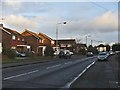
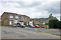
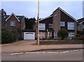
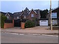
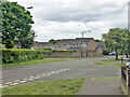
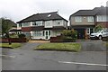
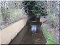
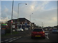
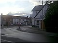
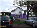
10 photos from this area
Area Information
Key information about the EN8 0QY including its size, population, and administrative classification.
- Area Type
- Postcode
- Area Size
- 2.4 hectares
- Population
- 1654
- Population Density
- 5634 people/km²
House Prices in EN8 0QY
14
Properties
£457,857
Average Sold Price
£128,500
Lowest Price
£785,000
Highest Price
Showing 14 properties
| Address | Type | Beds | Baths | Last Sale Price | Last Sale Date | |
|---|---|---|---|---|---|---|
| Lyndens, Brookfield Lane West, Cheshunt, EN8 0QY | Detached | 5 | 3 | £785,000 | May 2025 | |
| Cedrus B, Brookfield Lane West, Cheshunt, EN8 0QY | Detached | 6 | - | £620,000 | Apr 2016 | |
| Cedrus A, Brookfield Lane West, Cheshunt, EN8 0QY | Detached | 6 | 3 | £547,500 | Jul 2011 | |
| Chilcott House, Brookfield Lane West, Cheshunt, EN8 0QY | Detached | 4 | 2 | £378,000 | Feb 2004 | |
| Argoson, Brookfield Lane West, Cheshunt, EN8 0QY | Detached | 3 | - | £451,000 | Mar 2003 | |
| Blackbird Cottage, Brookfield Lane West, Cheshunt, EN8 0QY | Bungalow | - | - | £295,000 | Mar 2001 | |
| 8, Cheshunt Folly, Brookfield Lane West, Cheshunt, EN8 0QY | Terraced | 3 | 1 | £128,500 | Apr 1999 | |
| 7, Cheshunt Folly, Brookfield Lane West, Cheshunt, EN8 0QY | Terraced | 2 | 1 | - | - | |
| 6, Cheshunt Folly, Brookfield Lane West, Cheshunt, EN8 0QY | Terraced | 2 | 1 | - | - | |
| 4, Cheshunt Folly, Brookfield Lane West, Cheshunt, EN8 0QY | Terraced | 2 | 1 | - | - |
Page 1 of 2
Energy Efficiency in EN8 0QY
Amenities
Schools
| Rank | School | Type | Entry gender | Ages |
|---|
Explore more schools in this area
Go to Schools tabDemographics
Household Size
Family (3-5 people)
most common
Accommodation Type
Houses
most common
Tenure
93
majority
Ethnic Group
White
most common
Religion
N/A
most common
Household Composition
N/A
most common
Age
47
median
Adults (30-64 years)
most common
Household Deprivation
N/A
with no deprivation
NS-SEC
34
in Lower managerial occupations
Explore more demographic insights in this area
Go to Demographics tabPlanning
Planning Constraints
- Flood RiskPremium
- Ramsar Wetland SitesPremium
- Area of Outstanding Natural BeautyPremium
- Protected Nature ReservePremium
- Protected WoodlandPremium