Area Overview for EN7 6UU
Photos of EN7 6UU
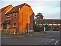
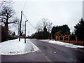
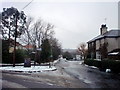
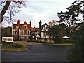
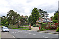
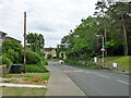
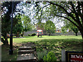
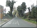
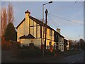
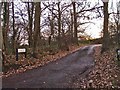
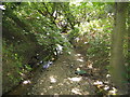
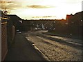
14 photos from this area
Area Information
Key information about the EN7 6UU including its size, population, and administrative classification.
- Area Type
- Postcode
- Area Size
- 1.1 hectares
- Population
- 1582
- Population Density
- 1857 people/km²
House Prices in EN7 6UU
37
Properties
£328,634
Average Sold Price
£152,500
Lowest Price
£590,000
Highest Price
Showing 37 properties
| Address | Type | Beds | Baths | Last Sale Price | Last Sale Date | |
|---|---|---|---|---|---|---|
| 10 Lucern Close, Cheshunt, EN7 6UU | Detached | 4 | 2 | £590,000 | Aug 2025 | |
| 16 Lucern Close, Cheshunt, EN7 6UU | house | 4 | 2 | £570,000 | Jul 2025 | |
| 3 Lucern Close, Cheshunt, EN7 6UU | Detached | 3 | 2 | £545,000 | Aug 2024 | |
| 34 Lucern Close, Cheshunt, EN7 6UU | Semi-detached | 4 | 2 | £530,000 | Mar 2024 | |
| 46 Lucern Close, Cheshunt, EN7 6UU | house | - | - | £515,000 | Mar 2021 | |
| 5 Lucern Close, Cheshunt, EN7 6UU | Semi-detached | 3 | 2 | £470,000 | Dec 2020 | |
| 44 Lucern Close, Cheshunt, EN7 6UU | Terraced | 2 | 2 | £460,000 | Jun 2020 | |
| 7 Lucern Close, Cheshunt, EN7 6UU | Semi-detached | 3 | 2 | £480,000 | Jan 2020 | |
| 19 Lucern Close, Cheshunt, EN7 6UU | Terraced | 2 | - | £340,000 | Nov 2019 | |
| 21 Lucern Close, Cheshunt, EN7 6UU | Terraced | 2 | 2 | £360,000 | Feb 2019 |
Page 1 of 4
Energy Efficiency in EN7 6UU
Amenities
Schools
| Rank | School | Type | Entry gender | Ages |
|---|
Explore more schools in this area
Go to Schools tabDemographics
Household Size
Family (3-5 people)
most common
Accommodation Type
Houses
most common
Tenure
88
majority
Ethnic Group
White
most common
Religion
N/A
most common
Household Composition
N/A
most common
Age
47
median
Adults (30-64 years)
most common
Household Deprivation
N/A
with no deprivation
NS-SEC
39
in Lower managerial occupations
Explore more demographic insights in this area
Go to Demographics tabPlanning
Planning Constraints
- Flood RiskPremium
- Ramsar Wetland SitesPremium
- Area of Outstanding Natural BeautyPremium
- Protected Nature ReservePremium
- Protected WoodlandPremium