Area Overview for EN7 5EB
Photos of EN7 5EB
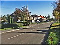
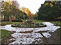
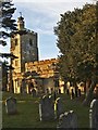
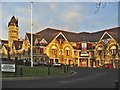
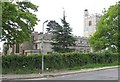
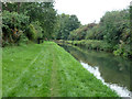
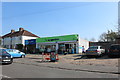
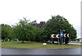
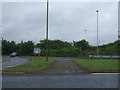
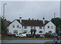
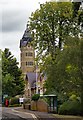
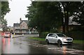
31 photos from this area
Area Information
Key information about the EN7 5EB including its size, population, and administrative classification.
- Area Type
- Postcode
- Area Size
- 5025 m²
- Population
- 1953
- Population Density
- 4802 people/km²
House Prices in EN7 5EB
16
Properties
£254,727
Average Sold Price
£69,000
Lowest Price
£410,000
Highest Price
Showing 16 properties
| Address | Type | Beds | Baths | Last Sale Price | Last Sale Date | |
|---|---|---|---|---|---|---|
| 22 Dark Lane, Cheshunt, EN7 5EB | Terraced | 3 | 1 | £410,000 | Jan 2023 | |
| 16 Dark Lane, Cheshunt, EN7 5EB | Terraced | 3 | 1 | £410,000 | Aug 2021 | |
| 14 Dark Lane, Cheshunt, EN7 5EB | house | - | - | £360,000 | Aug 2021 | |
| Palma Nova, Dark Lane, Cheshunt, EN7 5EB | Semi-detached | 3 | 1 | £385,000 | Mar 2020 | |
| 12 Dark Lane, Cheshunt, EN7 5EB | Terraced | 3 | 2 | £350,000 | Jun 2017 | |
| 20 Dark Lane, Cheshunt, EN7 5EB | house | 3 | - | £215,000 | Feb 2011 | |
| Oaklands, Dark Lane, Cheshunt, EN7 5EB | Semi-detached | - | - | £195,000 | Feb 2010 | |
| 4 Dark Lane, Cheshunt, EN7 5EB | house | - | - | £206,000 | Jun 2004 | |
| 18 Dark Lane, Cheshunt, EN7 5EB | Terraced | - | - | £133,000 | Oct 2001 | |
| 28 Dark Lane, Cheshunt, EN7 5EB | Semi-detached | 3 | 2 | £69,000 | Aug 1996 |
Page 1 of 2
Energy Efficiency in EN7 5EB
Amenities
Schools
| Rank | School | Type | Entry gender | Ages |
|---|
Explore more schools in this area
Go to Schools tabDemographics
Household Size
Family (3-5 people)
most common
Accommodation Type
Houses
most common
Tenure
66
majority
Ethnic Group
White
most common
Religion
N/A
most common
Household Composition
N/A
most common
Age
47
median
Adults (30-64 years)
most common
Household Deprivation
N/A
with no deprivation
NS-SEC
29
in Lower managerial occupations
Explore more demographic insights in this area
Go to Demographics tabPlanning
Planning Constraints
- Flood RiskPremium
- Ramsar Wetland SitesPremium
- Area of Outstanding Natural BeautyPremium
- Protected Nature ReservePremium
- Protected WoodlandPremium