Area Overview for EN6 5QE
Photos of EN6 5QE
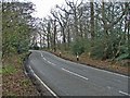
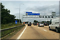
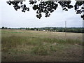
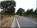

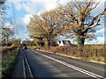
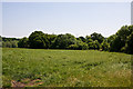
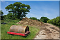
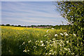
23 photos from this area
Area Information
Key information about the EN6 5QE including its size, population, and administrative classification.
- Area Type
- Postcode
- Area Size
- 5.3 hectares
- Population
- 1757
- Population Density
- 143 people/km²
House Prices in EN6 5QE
25
Properties
£289,297
Average Sold Price
£45,000
Lowest Price
£470,000
Highest Price
Showing 25 properties
| Address | Type | Beds | Baths | Last Sale Price | Last Sale Date | |
|---|---|---|---|---|---|---|
| 14 Honeywood Close, Potters Bar, EN6 5QE | Maisonette | 2 | 1 | £255,000 | Feb 2025 | |
| 4 Honeywood Close, Potters Bar, EN6 5QE | Terraced | 3 | 1 | £470,000 | Dec 2024 | |
| 23 Honeywood Close, Potters Bar, EN6 5QE | Terraced | 3 | 1 | £455,000 | Jul 2023 | |
| 7 Honeywood Close, Potters Bar, EN6 5QE | Terraced | 3 | 1 | £349,675 | Feb 2020 | |
| 2 Honeywood Close, Potters Bar, EN6 5QE | Terraced | 3 | - | £345,000 | May 2016 | |
| 8 Honeywood Close, Potters Bar, EN6 5QE | Terraced | 3 | 1 | £327,500 | Jan 2015 | |
| 10 Honeywood Close, Potters Bar, EN6 5QE | house | 3 | - | £246,500 | Oct 2010 | |
| 15 Honeywood Close, Potters Bar, EN6 5QE | Detached | 4 | 1 | £110,000 | Aug 1999 | |
| 24 Honeywood Close, Potters Bar, EN6 5QE | Terraced | 1 | 1 | £45,000 | May 1998 | |
| 13 Honeywood Close, Potters Bar, EN6 5QE | Flat | 2 | 1 | - | - |
Page 1 of 3
Energy Efficiency in EN6 5QE
Amenities
Schools
| Rank | School | Type | Entry gender | Ages |
|---|
Explore more schools in this area
Go to Schools tabDemographics
Household Size
Family (3-5 people)
most common
Accommodation Type
Houses
most common
Tenure
66
majority
Ethnic Group
White
most common
Religion
N/A
most common
Household Composition
N/A
most common
Age
47
median
Adults (30-64 years)
most common
Household Deprivation
N/A
with no deprivation
NS-SEC
40
in Lower managerial occupations
Explore more demographic insights in this area
Go to Demographics tabPlanning
Planning Constraints
- Flood RiskPremium
- Ramsar Wetland SitesPremium
- Area of Outstanding Natural BeautyPremium
- Protected Nature ReservePremium
- Protected WoodlandPremium