Area Overview for EN6 4DS
Photos of EN6 4DS
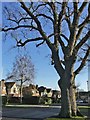
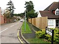
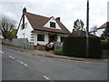
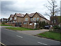
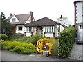
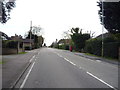
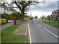
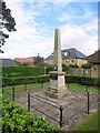
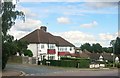
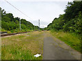
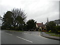
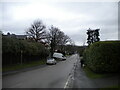
37 photos from this area
Area Information
Key information about the EN6 4DS including its size, population, and administrative classification.
- Area Type
- Postcode
- Area Size
- 6582 m²
- Population
- 1783
- Population Density
- 2823 people/km²
House Prices in EN6 4DS
9
Properties
£610,688
Average Sold Price
£225,500
Lowest Price
£920,000
Highest Price
Showing 9 properties
| Address | Type | Beds | Baths | Last Sale Price | Last Sale Date | |
|---|---|---|---|---|---|---|
| 52 Plough Hill, Cuffley, Potters Bar, EN6 4DS | Detached | 4 | 2 | £920,000 | Dec 2022 | |
| 52A Plough Hill, Cuffley, Potters Bar, EN6 4DS | Detached | 4 | 3 | £870,000 | Jun 2018 | |
| 56 Plough Hill, Cuffley, Potters Bar, EN6 4DS | Semi-detached | 4 | 2 | £760,000 | Nov 2017 | |
| Elberberry House, 50 Plough Hill, Cuffley, Potters Bar, EN6 4DS | Bungalow | 3 | 1 | £585,000 | Oct 2015 | |
| 58 Plough Hill, Cuffley, Potters Bar, EN6 4DS | Detached | 3 | - | £700,000 | Apr 2015 | |
| 46 Plough Hill, Cuffley, Potters Bar, EN6 4DS | Detached | 5 | 2 | £455,000 | Mar 2014 | |
| 54 Plough Hill, Cuffley, Potters Bar, EN6 4DS | Semi-detached | - | - | £370,000 | May 2005 | |
| 48 Plough Hill, Cuffley, Potters Bar, EN6 4DS | Bungalow | 4 | 2 | £225,500 | Aug 1998 | |
| 44 Plough Hill, Cuffley, Potters Bar, EN6 4DS | Detached | - | - | - | - |
Energy Efficiency in EN6 4DS
Amenities
Schools
| Rank | School | Type | Entry gender | Ages |
|---|
Explore more schools in this area
Go to Schools tabDemographics
Household Size
Family (3-5 people)
most common
Accommodation Type
Houses
most common
Tenure
92
majority
Ethnic Group
White
most common
Religion
N/A
most common
Household Composition
N/A
most common
Age
47
median
Adults (30-64 years)
most common
Household Deprivation
N/A
with no deprivation
NS-SEC
42
in Lower managerial occupations
Explore more demographic insights in this area
Go to Demographics tabPlanning
Planning Constraints
- Flood RiskPremium
- Ramsar Wetland SitesPremium
- Area of Outstanding Natural BeautyPremium
- Protected Nature ReservePremium
- Protected WoodlandPremium