Area Overview for EN10 6HX
Photos of EN10 6HX
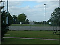
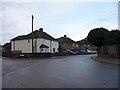
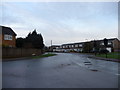
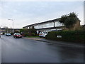
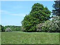
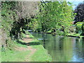
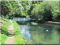
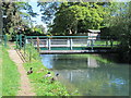
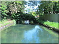
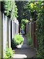
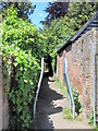
59 photos from this area
Area Information
Key information about the EN10 6HX including its size, population, and administrative classification.
- Area Type
- Postcode
- Area Size
- 7116 m²
- Population
- 1806
- Population Density
- 902 people/km²
House Prices in EN10 6HX
26
Properties
£313,026
Average Sold Price
£117,000
Lowest Price
£500,000
Highest Price
Showing 26 properties
| Address | Type | Beds | Baths | Last Sale Price | Last Sale Date | |
|---|---|---|---|---|---|---|
| 30 Wharf Road, Wormley, EN10 6HX | Terraced | 2 | 1 | £278,000 | Mar 2024 | |
| 34 Wharf Road, Wormley, EN10 6HX | Terraced | 2 | 1 | £290,000 | Nov 2023 | |
| 6 Wharf Road, Wormley, EN10 6HX | Retail | 3 | 1 | £425,000 | Jan 2023 | |
| 22 Wharf Road, Wormley, EN10 6HX | Terraced | 2 | 1 | £369,995 | Dec 2021 | |
| Overway, 10 Wharf Road, Wormley, EN10 6HX | Semi-detached | - | - | £500,000 | Oct 2021 | |
| 42 Wharf Road, Wormley, EN10 6HX | house | - | - | £372,500 | Oct 2021 | |
| 38 Wharf Road, Wormley, EN10 6HX | Terraced | 2 | - | £370,000 | Sep 2021 | |
| 36 Wharf Road, Wormley, EN10 6HX | Terraced | 3 | 1 | £355,000 | May 2021 | |
| 32 Wharf Road, Wormley, EN10 6HX | Terraced | 2 | 1 | £350,000 | Mar 2021 | |
| 40 Wharf Road, Wormley, EN10 6HX | house | - | - | £375,000 | Mar 2021 |
Page 1 of 3
Energy Efficiency in EN10 6HX
Amenities
Schools
| Rank | School | Type | Entry gender | Ages |
|---|
Explore more schools in this area
Go to Schools tabDemographics
Household Size
Family (3-5 people)
most common
Accommodation Type
Houses
most common
Tenure
79
majority
Ethnic Group
White
most common
Religion
N/A
most common
Household Composition
N/A
most common
Age
47
median
Adults (30-64 years)
most common
Household Deprivation
N/A
with no deprivation
NS-SEC
36
in Lower managerial occupations
Explore more demographic insights in this area
Go to Demographics tabPlanning
Planning Constraints
- Flood RiskPremium
- Ramsar Wetland SitesPremium
- Area of Outstanding Natural BeautyPremium
- Protected Nature ReservePremium
- Protected WoodlandPremium