Area Overview for EN10 6DF
Photos of EN10 6DF
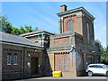
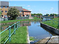
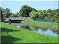
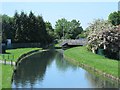
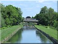
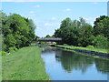
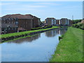
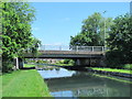
42 photos from this area
Area Information
Key information about the EN10 6DF including its size, population, and administrative classification.
- Area Type
- Postcode
- Area Size
- 1.6 hectares
- Population
- 1355
- Population Density
- 4219 people/km²
House Prices in EN10 6DF
24
Properties
£365,767
Average Sold Price
£157,000
Lowest Price
£530,000
Highest Price
Showing 24 properties
| Address | Type | Beds | Baths | Last Sale Price | Last Sale Date | |
|---|---|---|---|---|---|---|
| 24 Westside, Turnford, EN10 6DF | house | 3 | 1 | £530,000 | Aug 2022 | |
| 13 Westside, Turnford, EN10 6DF | Semi-detached | 3 | 1 | £480,000 | Dec 2019 | |
| The Tors, 15 Westside, Turnford, EN10 6DF | Semi-detached | 3 | 1 | £490,000 | Jan 2019 | |
| 20 Westside, Turnford, EN10 6DF | Semi-detached | 3 | 2 | £400,000 | Jun 2018 | |
| 21 Westside, Turnford, EN10 6DF | Detached | 5 | 2 | £400,000 | Nov 2016 | |
| 9 Westside, Turnford, EN10 6DF | Semi-detached | 3 | - | £450,000 | May 2016 | |
| 8 Westside, Turnford, EN10 6DF | Semi-detached | 1 | 1 | £415,000 | Jun 2015 | |
| 23 Westside, Turnford, EN10 6DF | Semi-detached | 3 | 2 | £335,000 | Jul 2014 | |
| 11 Westside, Turnford, EN10 6DF | Semi-detached | 3 | 1 | £310,000 | Feb 2013 | |
| 16 Westside, Turnford, EN10 6DF | house | - | - | £367,500 | Sep 2010 |
Page 1 of 3
Energy Efficiency in EN10 6DF
Amenities
Schools
| Rank | School | Type | Entry gender | Ages |
|---|
Explore more schools in this area
Go to Schools tabDemographics
Household Size
Family (3-5 people)
most common
Accommodation Type
Flats
most common
Tenure
61
majority
Ethnic Group
White
most common
Religion
N/A
most common
Household Composition
N/A
most common
Age
47
median
Adults (30-64 years)
most common
Household Deprivation
N/A
with no deprivation
NS-SEC
32
in Lower managerial occupations
Explore more demographic insights in this area
Go to Demographics tabPlanning
Planning Constraints
- Flood RiskPremium
- Ramsar Wetland SitesPremium
- Area of Outstanding Natural BeautyPremium
- Protected Nature ReservePremium
- Protected WoodlandPremium