Area Overview for Elstree and Borehamwood
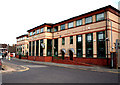
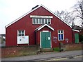
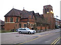
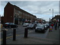
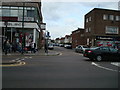
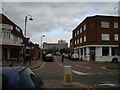
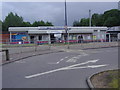
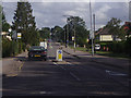
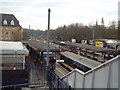
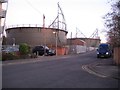
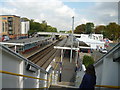
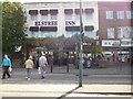
Photos of Elstree and Borehamwood
Area Information
Elstree and Borehamwood stands as a distinct civil parish covering 13.8 square kilometres. You will find over 14,000 residents settled within these boundaries, creating a population density of 1,050 people per square kilometre. This specific neighbourhood offers a substantial sense of community without the intense congestion found in larger metropolitan districts. The layout supports a steady pace of life where local amenities remain accessible to the majority of households. Living in this parish involves engaging with a long-established locale that balances residential space with local infrastructure. The area functions effectively as a home for families and individuals seeking stability within Hertfordshire. Daily life here is characterised by a mix of quiet streets and active community engagement. You can expect a built environment that has clearly served its current population for some time. The size and shape of the parish facilitate a manageable distance between our homes and essential services. This neighbourhood avoids the chaotic sprawl often seen in rapidly expanding urban zones. Instead, you experience a more contained community where the scale remains appropriate for its residents. Understanding the physical footprint of this 13.8 kilometre zone helps you visualise your future commute and walking distances. The population count reflects a stable settlement that does not face the pressure of sudden demographic shifts.
- Area Type
- Parish
- Area Size
- 13.8 km²
- Population
- 14455
- Population Density
- 1050 people/km²
Demographics
The community within Elstree and Borehamwood has a median age of 70 years. This figure indicates an older demographic profile where you are likely to meet residents who have lived in the area for decades. Most households consist of adults in the "Age: Total" category, reflecting a significant presence of older age groups. Home ownership is a defining feature of this parish, with 74 per cent of residents owning their homes. This high rate suggests a deep-rooted connection to the neighbourhood and long-term stability for occupants. The accommodation type distribution follows these ownership patterns, reinforcing the status of this area as an owner-occupied sector. You will encounter fewer rental properties compared to other districts in Greater London or Hertfordshire. The persistent age statistic means you might find the local pace reflects the lifestyle of retirees and mature adults. This demographic reality shapes the social fabric and the demand for specific local services. When considering living in Elstree and Borehamwood, you must appreciate that the neighbourly dynamic heavily relies on long-standing residents. The households you meet will likely have deep ties to the parish boundaries. Therefore, the social environment in this civil parish is established and mature. This profile distinguishes the area from locations with younger, transient populations. You can be confident that 74 per cent of your future neighbours are owner-occupiers.
Household Size
Accommodation Type
Tenure
Ethnic Group
Religion
Household Composition
Age
Household Deprivation
NS-SEC
Explore more demographic insights in this area
Go to Demographics tabPlanning
Planning Constraints
- Flood RiskPremium
- Ramsar Wetland SitesPremium
- Area of Outstanding Natural BeautyPremium
- Protected Nature ReservePremium
- Protected WoodlandPremium
- Crime RiskPremium