Area Overview for Eaton Ward
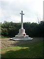
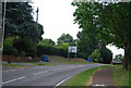
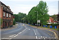
Photos of Eaton Ward

Area Information
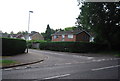
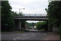
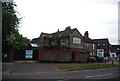
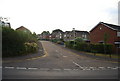
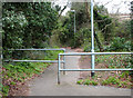
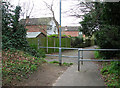
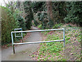
Eaton Ward represents a compact district covering 5.1 km² within the borough structure. The area is defined by an older demographic profile, with a median age of 70 years. This statistic indicates a community where retirement residents or affluent older households form a significant portion of the population. Living in Eaton Ward offers a quiet environment, though the specific landscape features and local streetscapes are not detailed in the current records. You will find a high concentration of independent living, as evidenced by the area's distinct age profile. The ward functions as a self-contained unit, yet the specific boundaries that define its daily life remain unrecorded in the available data. Whether you seek a rural retreat or a suburb, the raw metrics suggest a specialised community rather than a mixed-use hub. Prospective buyers must understand that the statistical picture shows a homogenous age group, which shapes the local services and neighbouring conditions you might experience.
- Area Type
- District Borough Unitary Ward
- Area Size
- 5.1 km²
- Population
- Not available
- Population Density
- Not available
Demographics
The community in Eaton Ward is characterised by a significant level of home ownership, standing at 69 per cent of the total households. This high rate suggests that most residents have a vested interest in the long-term stability of the area. You will encounter a population where the majority of accommodation is owned rather than rented. The demographic data confirms that the median age is 70, meaning the most common age range aligns with this older population profile. While specific breakdowns for private versus social accommodation are not itemised, the overwhelming ownership figure dominates the private sector landscape. The area shows no recorded data on specific ethnic groups, religious affiliations, or detailed household composition beyond the age median. Consequently, the social fabric appears defined primarily by the age and ownership status of its inhabitants. When evaluating homes in Eaton Ward, you are dealing with an established, owned community where the residents have likely lived for decades.
Household Size
Accommodation Type
Tenure
Ethnic Group
Religion
Household Composition
Age
Household Deprivation
NS-SEC
Explore more demographic insights in this area
Go to Demographics tabPlanning
Planning Constraints
- Flood RiskPremium
- Ramsar Wetland SitesPremium
- Area of Outstanding Natural BeautyPremium
- Protected Nature ReservePremium
- Protected WoodlandPremium
- Crime RiskPremium