Area Overview for East Flegg Ward
Photos of East Flegg Ward
Area Information
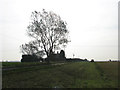
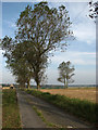
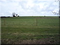
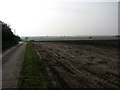
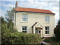
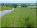
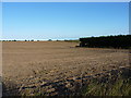
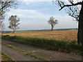
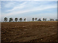
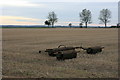
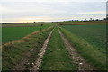
East Flegg Ward is a distinct rural district covering 20.9 square kilometres in England. You will find that life here moves at a slower pace compared to urban centres. The area combines open countryside with significant environmental designations. This ward stands out for its extensive protected status rather than dense urban development. Most residents live in a setting where nature dominates the daily landscape. The community functions as a tightly knit neighbourhood where familiarity is common. You may notice that the layout prioritises conservation over expansion. This creates a neighbourhood where privacy is inherent to the location. Locals rely on proximity to coastal features and natural reserves. The ward offers a quiet existence for those who value space. Think of this place as a retreat from city life. You arrive in an environment where the history of the land is preserved. The scale is manageable, yet the surroundings are imposing in their natural state. This area requires a resident who appreciates wide skies and open horizons.
- Area Type
- District Borough Unitary Ward
- Area Size
- 20.9 km²
- Population
- Not available
- Population Density
- Not available
Demographics
The community in East Flegg Ward displays a very specific age profile. The median age is 70 years old. This indicates a population dominated by older adults. You will find that residents largely belong to the older age bracket. Home ownership is the primary mode of housing tenure. Exactly 80 per cent of households own their homes. The remaining 20 per cent likely rent or occupy shared accommodation. The data does not specify the breakdown for the predominant ethnic group or religion. You must assume a relatively homogenous demographic based on the age statistics alone. The household composition data aggregates all types without detailing family structures. There is no indication of high population turnover. This stability suggests long-term residency rather than transient living situations. The lack of younger family units aligns with the high median age figure. Understanding that 80 per cent ownership helps you gauge the buying environment. The area is not a mixed bag of young professionals and families. It is a settlement defined by its senior residents and property owners.
Household Size
Accommodation Type
Tenure
Ethnic Group
Religion
Household Composition
Age
Household Deprivation
NS-SEC
Explore more demographic insights in this area
Go to Demographics tabPlanning
Planning Constraints
- Flood RiskPremium
- Ramsar Wetland SitesPremium
- Area of Outstanding Natural BeautyPremium
- Protected Nature ReservePremium
- Protected WoodlandPremium
- Crime RiskPremium