Area Overview for East Beckham
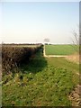
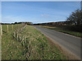
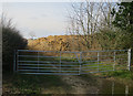
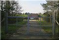
Photos of East Beckham
Area Information
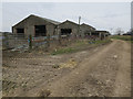
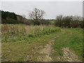
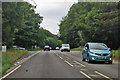
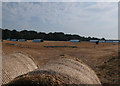
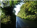
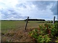
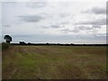
Living in East Beckham offers a quiet existence within a civil parish that spans just 3.0 square kilometres. You will find this small community situated in England, where the compact size means distances are short and neighbours are often close at hand. The area is defined by its rural character and limited footprint, which creates a distinct atmosphere for residents. There is no sprawling urban edge here; instead, you are dealing with a concentrated settlement where daily life revolves around the immediate surroundings. This limitation can be an advantage if you value close proximity to local amenities without the noise of a larger town. However, the small geographic scale also means that services are not spread out over many miles. You must plan your day around the specific locations of shops and facilities within these few square kilometres. The area provides a straightforward living environment where the boundaries of your world are clearly defined.
- Area Type
- Parish
- Area Size
- 3.0 km²
- Population
- Not available
- Population Density
- Not available
Demographics
The community in East Beckham reflects a settled and stable population, with a median age of 70 years. This high figure indicates that the most common residents are older adults rather than young families or students. You are looking at an area where life moves at a slower pace, driven by a demographic that has likely lived in the parish for decades. Home ownership is the defining feature of the community, with 73% of residents owning their homes outright or with a mortgage. This percentage leaves only 27% of households in some form of rental arrangement, making it difficult to find investment properties or rentals for visitors. The accommodation data suggests a stock built for long-term living rather than transient habitation. You will find a neighbourhood where established residents dominate the street scenes. This demographic profile creates a quiet environment where social interactions are deep but perhaps less dynamic than in younger areas.
Household Size
Accommodation Type
Tenure
Ethnic Group
Religion
Household Composition
Age
Household Deprivation
NS-SEC
Explore more demographic insights in this area
Go to Demographics tabPlanning
Planning Constraints
- Flood RiskLocked
- Ramsar Wetland SitesLocked
- Area of Outstanding Natural BeautyLocked
- Protected Nature ReserveLocked
- Protected WoodlandLocked
- Crime RiskLocked