Area Overview for Deopham
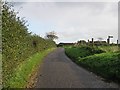
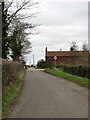
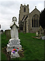
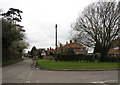
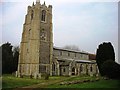
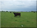
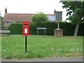
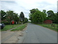
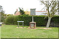
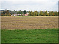
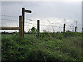
Photos of Deopham

Area Information
Living in Deopham offers a definitive rural experience within a civil parish of 9.8 square kilometres. You will find this area distinct from online towns, characterised by its size and quiet atmosphere. The limited land area suggests a tight-knit community where daily life revolves around local essentials rather than extensive urban infrastructure. This setting appeals to those seeking space and tranquillity without the noise or speed of city living. The parish functions as a self-contained environment, ideal for residents who value peace over proximity to bustling high streets or commercial hubs. Your mornings here likely involve open horizons and a slower pace, reflecting the nature of settlement in such a 작은 jurisdiction. When you consider homes in Deopham, you are entering a sphere defined by its geography and established routines. The area does not boast large-scale recreational facilities or major retail centres, so your daily activities will depend on a limited local range of services. This simplicity is a core feature for anyone prioritising a depersonalised lifestyle over one filled with constant activity.
- Area Type
- Parish
- Area Size
- 9.8 km²
- Population
- Not available
- Population Density
- Not available
Demographics
The community in Deopham is defined by a clear and singular age profile. With a median age of 70, the area is home almost entirely to elderly residents. You will notice that the majority of people living here belong to a specific demographic, as the data indicates the most common age range covers the total population in this bracket. This implies that you are unlikely to encounter families with young children or young professionals navigating career stages in this parish. Home ownership stands at an impressive 86%, meaning nearly nine out of ten houses are occupied by their owners. This figure exceeds typical national averages, suggesting a stable neighbourhood where residents have deep roots and long-term tenure. The high rate of ownership supports the observation that the local economy relies on retirement rather than rental income from landlords. While the data does not specify household composition percentages beyond the total category, the age context strongly implies a population of retirees living in two-person or one-person households. This consensus on who lives here helps you understand the social fabric without needing to speculate on unrecorded variables.
Household Size
Accommodation Type
Tenure
Ethnic Group
Religion
Household Composition
Age
Household Deprivation
NS-SEC
Explore more demographic insights in this area
Go to Demographics tabPlanning
Planning Constraints
- Flood RiskPremium
- Ramsar Wetland SitesPremium
- Area of Outstanding Natural BeautyPremium
- Protected Nature ReservePremium
- Protected WoodlandPremium
- Crime RiskPremium