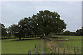
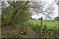
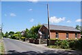
Area Overview for Dedham Heath
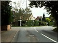
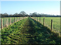
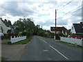
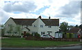
Photos of Dedham Heath


Area Information
Living in Dedham Heath offers a quiet, well-connected lifestyle in a built-up area spanning 49.2 hectares. This part of England balances practicality with accessibility, with rail stations within practical reach, including Manningtree, Mistley, and Hythe. The area’s population skews older, with a median age of 70, suggesting a community rooted in stability and long-term residency. Daily life here is shaped by proximity to retail hubs like the East of England Co-operative Co, which provides essential shopping options. While the area lacks the density of larger cities, its compact size ensures amenities are within walking or short driving distance. For those prioritising safety and a slower pace, Dedham Heath’s low crime risk and strong broadband connectivity make it an appealing choice. The combination of rail links and digital infrastructure supports both remote work and traditional commuting, offering flexibility for residents. Whether you’re seeking a retirement haven or a place to settle long-term, Dedham Heath presents a straightforward, no-frills environment with clear advantages for practical living.
- Area Type
- Built Up Area 250
- Area Size
- 49.2 hectares
- Population
- Not available
- Population Density
- Not available
Residents of Dedham Heath have access to essential retail services through the East of England Co-operative Co, which offers a range of everyday shopping needs. The presence of multiple rail stations, including Manningtree, Mistley, and Hythe, ensures convenient travel for work, leisure, or socialising. While the area does not feature large parks or cultural hubs, its compact size means amenities are within easy reach. The retail options and rail links contribute to a lifestyle that prioritises convenience over sprawling urban sprawl. For those who enjoy a slower pace, the area’s limited scale allows for a more predictable routine, with fewer distractions from city life. The combination of practical retail and reliable transport supports a straightforward, no-frills approach to daily living, ideal for those who value accessibility over extensive leisure options.
Amenities
Schools
| Rank | A + A* % | School | Type | Entry gender | Ages |
|---|
Explore more schools in this area
Go to Schools tabDemographics
Dedham Heath’s population has a median age of 70, reflecting a community predominantly composed of older residents. This age profile suggests a demographic focused on stability, with many likely to have lived in the area for extended periods. Home ownership is high at 76%, indicating a strong presence of long-term residents who have invested in property. While specific data on household composition, accommodation types, and ethnic diversity is not provided, the high home ownership rate implies a settled, low-turnover community. The absence of detailed figures on deprivation or diversity means broader conclusions about quality of life must remain cautious. However, the age profile and ownership statistics together suggest a place where generational continuity is valued. For prospective buyers, this demographic may appeal to those seeking a mature, low-maintenance environment with established local networks.
Household Size
Accommodation Type
Tenure
Ethnic Group
Religion
Household Composition
Age
Household Deprivation
NS-SEC
Explore more demographic insights in this area
Go to Demographics tabPlanning
Planning Constraints
- Crime RiskLocked