Area Overview for Cringleford
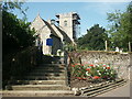
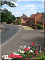
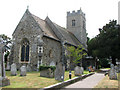
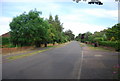
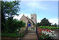
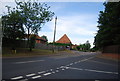
Photos of Cringleford


Area Information
Cringleford is a compact built-up area in England, covering just 1.7 km², yet it offers a distinct mix of residential life and practical connectivity. With a median age of 70, the community here is predominantly older, shaping a quiet, stable environment where daily life is characterised by routine and familiarity. The area’s proximity to key amenities, including retail hubs like Tesco Cringleford and Waitrose Norwich, ensures residents have access to essentials without venturing far. A primary school with a good Ofsted rating serves the local family population, while nearby rail stations and Norwich International Airport provide links to wider destinations. Safety is a notable feature, with a crime risk score of 73, reflecting a below-average rate of incidents. For those seeking a low-maintenance, secure place to live, Cringleford’s blend of convenience and tranquility makes it an appealing choice, particularly for retirees or those prioritising stability over urban vibrancy.
- Area Type
- Built Up Area 250
- Area Size
- 1.7 km²
- Population
- Not available
- Population Density
- Not available
Cringleford’s lifestyle is shaped by its accessible amenities, including retail options like Tesco Cringleford, Waitrose Norwich, and Spar, which provide everyday shopping convenience. The area’s rail stations and metro links ensure easy travel to nearby towns and cities, while Norwich International Airport offers regional and international flight access. Although the data does not mention parks or leisure facilities, the presence of retail and transport hubs suggests a practical, no-frills approach to daily living. Residents can enjoy a mix of local shopping and efficient travel, making Cringleford a functional choice for those valuing accessibility over expansive recreational spaces.
Amenities
Schools
The nearest school to Cringleford is the Cringleford CE VA Primary School, which serves the local community with a good Ofsted rating. As the only school listed in the data, it is the primary educational option for families in the area. The absence of secondary schools or additional educational institutions means parents may need to look beyond Cringleford for comprehensive schooling. However, the primary school’s good rating indicates a reliable foundation for early education, which is a positive factor for families prioritising quality schooling in a smaller, quieter setting.
| Rank | School | Type | Entry gender | Ages |
|---|
Explore more schools in this area
Go to Schools tabDemographics
Cringleford’s population is defined by its median age of 70, with the majority of residents falling within the total age range category. Home ownership here is robust, with 73% of households owning their properties, suggesting a settled community with long-term residency. The data does not specify household composition or diversity, but the high home ownership rate indicates a preference for permanent living over rental tenancies. Accommodation types are not detailed, but the overall demographic profile points to a population that values stability and familiarity. While no figures on deprivation or diversity are provided, the age profile and ownership statistics imply a community with limited turnover, where generational continuity is a key feature.
Household Size
Accommodation Type
Tenure
Ethnic Group
Religion
Household Composition
Age
Household Deprivation
NS-SEC
Explore more demographic insights in this area
Go to Demographics tabPlanning
Planning Constraints
- Crime RiskPremium