Area Overview for CO9 3QE
Photos of CO9 3QE
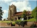
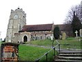
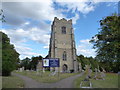
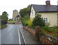
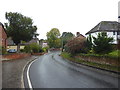
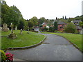
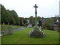
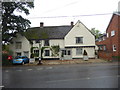
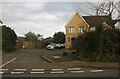
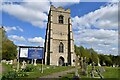
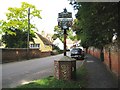
21 photos from this area
Area Information
Key information about the CO9 3QE including its size, population, and administrative classification.
- Area Type
- Postcode
- Area Size
- 2.8 hectares
- Population
- 1692
- Population Density
- 2406 people/km²
House Prices in CO9 3QE
34
Properties
£165,583
Average Sold Price
£94,000
Lowest Price
£268,000
Highest Price
Showing 34 properties
| Address | Type | Beds | Baths | Last Sale Price | Last Sale Date | |
|---|---|---|---|---|---|---|
| 29 Christmas Field, Sible Hedingham, CO9 3QE | Bungalow | - | - | £268,000 | Jun 2022 | |
| 25 Christmas Field, Sible Hedingham, CO9 3QE | Semi-detached | 2 | 1 | £251,000 | Mar 2018 | |
| 18 Christmas Field, Sible Hedingham, CO9 3QE | Flat | - | - | £138,500 | Jul 2016 | |
| 10 Christmas Field, Sible Hedingham, CO9 3QE | Flat | - | - | £124,995 | Jan 2015 | |
| 13 Christmas Field, Sible Hedingham, CO9 3QE | Flat | - | - | £117,000 | May 2014 | |
| 14 Christmas Field, Sible Hedingham, CO9 3QE | Flat | - | - | £94,000 | May 2013 | |
| The School House, Christmas Field, Sible Hedingham, CO9 3QE | Detached | - | - | - | - | |
| 5 Christmas Field, Sible Hedingham, CO9 3QE | Bungalow | - | - | - | - | |
| 6 Christmas Field, Sible Hedingham, CO9 3QE | Semi-detached | - | - | - | - | |
| 21 Christmas Field, Sible Hedingham, CO9 3QE | Flat | - | - | - | - |
Page 1 of 4
Energy Efficiency in CO9 3QE
Amenities
Schools
| Rank | School | Type | Entry gender | Ages |
|---|
Explore more schools in this area
Go to Schools tabDemographics
Household Size
Two person
most common
Accommodation Type
Houses
most common
Tenure
69
majority
Ethnic Group
White
most common
Religion
N/A
most common
Household Composition
N/A
most common
Age
47
median
Adults (30-64 years)
most common
Household Deprivation
N/A
with no deprivation
NS-SEC
26
in Lower managerial occupations
Explore more demographic insights in this area
Go to Demographics tabPlanning
Planning Constraints
- Flood RiskPremium
- Ramsar Wetland SitesPremium
- Area of Outstanding Natural BeautyPremium
- Protected Nature ReservePremium
- Protected WoodlandPremium