Area Overview for CO9 3PL
Photos of CO9 3PL

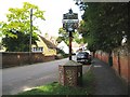

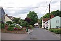
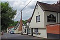

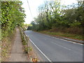
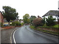
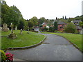

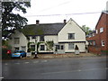
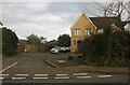
21 photos from this area
Area Information
Key information about the CO9 3PL including its size, population, and administrative classification.
- Area Type
- Postcode
- Area Size
- 2.1 hectares
- Population
- 1692
- Population Density
- 2406 people/km²
House Prices in CO9 3PL
35
Properties
£429,654
Average Sold Price
£147,000
Lowest Price
£599,999
Highest Price
Showing 35 properties
| Address | Type | Beds | Baths | Last Sale Price | Last Sale Date | |
|---|---|---|---|---|---|---|
| 6 St Peters View, Sible Hedingham, CO9 3PL | Detached | 4 | 2 | £485,000 | May 2024 | |
| 15 St Peters View, Sible Hedingham, CO9 3PL | Detached | 5 | 1 | £570,000 | Jun 2023 | |
| 18 St Peters View, Sible Hedingham, CO9 3PL | Detached | 4 | 2 | £530,000 | Oct 2022 | |
| 30 St Peters View, Sible Hedingham, CO9 3PL | Detached | 4 | 1 | £385,000 | May 2022 | |
| Woodmans Cottage, St Peters View, Sible Hedingham, CO9 3PL | Semi-detached | 4 | 3 | £539,950 | Jan 2022 | |
| 2 St Peters View, Sible Hedingham, CO9 3PL | house | - | - | £465,000 | Sep 2021 | |
| Blacksmiths Cottage, St Peters View, Sible Hedingham, CO9 3PL | Cottage | 4 | 3 | £519,950 | Jun 2021 | |
| 32 St Peters View, Sible Hedingham, CO9 3PL | Detached | 4 | 2 | £378,000 | Apr 2021 | |
| 20 St Peters View, Sible Hedingham, CO9 3PL | house | - | - | £565,000 | Apr 2021 | |
| 38 St Peters View, Sible Hedingham, CO9 3PL | house | - | - | £599,999 | Mar 2021 |
Page 1 of 4
Energy Efficiency in CO9 3PL
Amenities
Schools
| Rank | School | Type | Entry gender | Ages |
|---|
Explore more schools in this area
Go to Schools tabDemographics
Household Size
Two person
most common
Accommodation Type
Houses
most common
Tenure
69
majority
Ethnic Group
White
most common
Religion
N/A
most common
Household Composition
N/A
most common
Age
47
median
Adults (30-64 years)
most common
Household Deprivation
N/A
with no deprivation
NS-SEC
26
in Lower managerial occupations
Explore more demographic insights in this area
Go to Demographics tabPlanning
Planning Constraints
- Flood RiskPremium
- Ramsar Wetland SitesPremium
- Area of Outstanding Natural BeautyPremium
- Protected Nature ReservePremium
- Protected WoodlandPremium