Area Overview for CO9 1HA
Photos of CO9 1HA
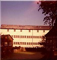
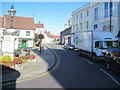
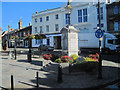
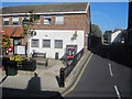
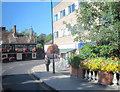
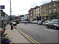
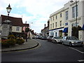
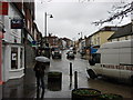
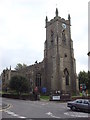
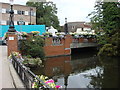
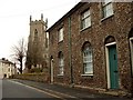
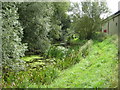
100 photos from this area
Area Information
Key information about the CO9 1HA including its size, population, and administrative classification.
- Area Type
- Postcode
- Area Size
- 2.1 hectares
- Population
- Not available
- Population Density
- Not available
House Prices in CO9 1HA
45
Properties
£187,541
Average Sold Price
£41,000
Lowest Price
£310,000
Highest Price
Showing 45 properties
| Address | Type | Beds | Baths | Last Sale Price | Last Sale Date | |
|---|---|---|---|---|---|---|
| 11 Kings Road, Halstead, CO9 1HA | Terraced | 3 | 1 | £235,000 | Jul 2025 | |
| 59 Kings Road, Halstead, CO9 1HA | Semi-detached | 2 | 1 | £280,000 | Apr 2025 | |
| 87 Kings Road, Halstead, CO9 1HA | Terraced | 2 | 1 | £270,000 | Jan 2024 | |
| 42 Kings Road, Halstead, CO9 1HA | Semi-detached | 2 | 1 | £292,500 | Jun 2023 | |
| 40 Kings Road, Halstead, CO9 1HA | Semi-detached | 3 | 1 | £310,000 | Jan 2023 | |
| 79 Kings Road, Halstead, CO9 1HA | house | 2 | - | £260,000 | Jul 2022 | |
| 57 Kings Road, Halstead, CO9 1HA | Semi-detached | 2 | 3 | £298,500 | Jun 2022 | |
| 73 Kings Road, Halstead, CO9 1HA | Retail | 2 | 1 | £265,000 | Apr 2022 | |
| 7 Kings Road, Halstead, CO9 1HA | Retail | 2 | 1 | £168,000 | Mar 2022 | |
| 13 Kings Road, Halstead, CO9 1HA | Terraced | 3 | 1 | £180,000 | Feb 2020 |
Page 1 of 5
Energy Efficiency in CO9 1HA
Amenities
Schools
| Rank | School | Type | Entry gender | Ages |
|---|
Explore more schools in this area
Go to Schools tabDemographics
Household Size
One person
most common
Accommodation Type
Houses
most common
Tenure
54
majority
Ethnic Group
White
most common
Religion
N/A
most common
Household Composition
N/A
most common
Age
47
median
Adults (30-64 years)
most common
Household Deprivation
N/A
with no deprivation
NS-SEC
29
in Lower managerial occupations
Explore more demographic insights in this area
Go to Demographics tabPlanning
Planning Constraints
- Flood RiskPremium
- Ramsar Wetland SitesPremium
- Area of Outstanding Natural BeautyPremium
- Protected Nature ReservePremium
- Protected WoodlandPremium