Area Overview for CO7 9RD
Photos of CO7 9RD
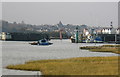
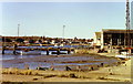
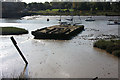
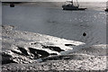
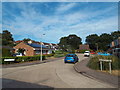
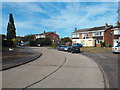
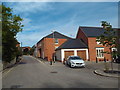
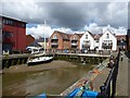
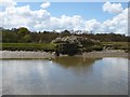
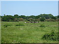
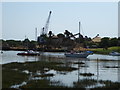
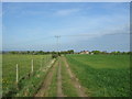
50 photos from this area
Area Information
Key information about the CO7 9RD including its size, population, and administrative classification.
- Area Type
- Postcode
- Area Size
- 5.6 hectares
- Population
- 1527
- Population Density
- 1383 people/km²
House Prices in CO7 9RD
11
Properties
£247,550
Average Sold Price
£56,000
Lowest Price
£360,000
Highest Price
Showing 11 properties
| Address | Type | Beds | Baths | Last Sale Price | Last Sale Date | |
|---|---|---|---|---|---|---|
| 21 Bowes Road, Wivenhoe, CO7 9RD | Bungalow | 3 | 1 | £328,000 | Sep 2025 | |
| 33 Bowes Road, Wivenhoe, CO7 9RD | Bungalow | 2 | 1 | £312,000 | Dec 2024 | |
| 23 Bowes Road, Wivenhoe, CO7 9RD | Bungalow | 3 | 2 | £360,000 | May 2019 | |
| 22 Bowes Road, Wivenhoe, CO7 9RD | Bungalow | 3 | - | £290,000 | Jan 2019 | |
| 27 Bowes Road, Wivenhoe, CO7 9RD | Bungalow | 3 | 1 | £337,500 | Dec 2017 | |
| 25 Bowes Road, Wivenhoe, CO7 9RD | Bungalow | 3 | - | £292,000 | May 2017 | |
| 20 Bowes Road, Wivenhoe, CO7 9RD | Bungalow | - | - | £275,000 | Jun 2016 | |
| 31 Bowes Road, Wivenhoe, CO7 9RD | Semi-detached | - | - | £155,000 | Sep 2005 | |
| 26 Bowes Road, Wivenhoe, CO7 9RD | Semi-detached | - | - | £56,000 | Feb 1997 | |
| 24 Bowes Road, Wivenhoe, CO7 9RD | Detached | - | - | £69,995 | Apr 1996 |
Page 1 of 2
Energy Efficiency in CO7 9RD
Amenities
Schools
| Rank | School | Type | Entry gender | Ages |
|---|
Explore more schools in this area
Go to Schools tabDemographics
Household Size
Two person
most common
Accommodation Type
Houses
most common
Tenure
88
majority
Ethnic Group
White
most common
Religion
N/A
most common
Household Composition
N/A
most common
Age
47
median
Adults (30-64 years)
most common
Household Deprivation
N/A
with no deprivation
NS-SEC
48
in Lower managerial occupations
Explore more demographic insights in this area
Go to Demographics tabPlanning
Planning Constraints
- Flood RiskPremium
- Ramsar Wetland SitesPremium
- Area of Outstanding Natural BeautyPremium
- Protected Nature ReservePremium
- Protected WoodlandPremium