Area Overview for CO7 9NY
Photos of CO7 9NY

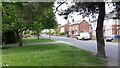
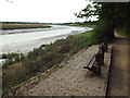
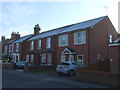
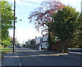
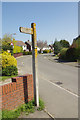
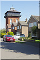
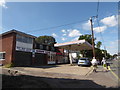
59 photos from this area
Area Information
Key information about the CO7 9NY including its size, population, and administrative classification.
- Area Type
- Postcode
- Area Size
- 1.1 hectares
- Population
- Not available
- Population Density
- Not available
House Prices in CO7 9NY
26
Properties
£169,125
Average Sold Price
£55,500
Lowest Price
£275,000
Highest Price
Showing 26 properties
| Address | Type | Beds | Baths | Last Sale Price | Last Sale Date | |
|---|---|---|---|---|---|---|
| 37 Rosabelle Avenue, Wivenhoe, CO7 9NY | house | - | - | £225,000 | Dec 2022 | |
| 31 Rosabelle Avenue, Wivenhoe, CO7 9NY | Semi-detached | 3 | 2 | £275,000 | Jun 2020 | |
| 49 Rosabelle Avenue, Wivenhoe, CO7 9NY | house | - | - | £120,000 | Aug 2014 | |
| 51 Rosabelle Avenue, Wivenhoe, CO7 9NY | Semi-detached | 3 | 1 | £167,500 | Apr 2011 | |
| 33 Rosabelle Avenue, Wivenhoe, CO7 9NY | house | 3 | - | £205,000 | Dec 2010 | |
| 46 Rosabelle Avenue, Wivenhoe, CO7 9NY | house | - | - | £140,000 | Jul 2009 | |
| 25 Rosabelle Avenue, Wivenhoe, CO7 9NY | Terraced | - | - | £165,000 | Feb 2006 | |
| 47 Rosabelle Avenue, Wivenhoe, CO7 9NY | Semi-detached | - | - | £55,500 | Jul 1996 | |
| 41 Rosabelle Avenue, Wivenhoe, CO7 9NY | Semi-detached | 3 | 1 | - | - | |
| 45 Rosabelle Avenue, Wivenhoe, CO7 9NY | Semi-detached | 3 | - | - | - |
Page 1 of 3
Energy Efficiency in CO7 9NY
Amenities
Schools
| Rank | School | Type | Entry gender | Ages |
|---|
Explore more schools in this area
Go to Schools tabDemographics
Household Size
Two person
most common
Accommodation Type
Houses
most common
Tenure
74
majority
Ethnic Group
White
most common
Religion
N/A
most common
Household Composition
N/A
most common
Age
47
median
Adults (30-64 years)
most common
Household Deprivation
N/A
with no deprivation
NS-SEC
37
in Lower managerial occupations
Explore more demographic insights in this area
Go to Demographics tabPlanning
Planning Constraints
- Flood RiskPremium
- Ramsar Wetland SitesPremium
- Area of Outstanding Natural BeautyPremium
- Protected Nature ReservePremium
- Protected WoodlandPremium