Area Overview for CO7 8JW
Photos of CO7 8JW


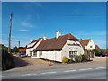

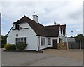
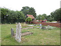
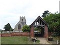


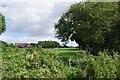
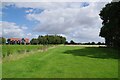
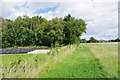
15 photos from this area
Area Information
Key information about the CO7 8JW including its size, population, and administrative classification.
- Area Type
- Postcode
- Area Size
- 49.9 hectares
- Population
- 2051
- Population Density
- 156 people/km²
House Prices in CO7 8JW
28
Properties
£386,406
Average Sold Price
£50,000
Lowest Price
£725,000
Highest Price
Showing 28 properties
| Address | Type | Beds | Baths | Last Sale Price | Last Sale Date | |
|---|---|---|---|---|---|---|
| Clifton House, Clacton Road, Thorrington, CO7 8JW | Detached | 3 | 2 | £455,000 | Oct 2023 | |
| Victoria House, Clacton Road, Thorrington, CO7 8JW | Detached | 3 | 1 | £365,000 | Apr 2023 | |
| The Linnets, Clacton Road, Thorrington, CO7 8JW | house | - | - | £457,500 | Jan 2023 | |
| Hoglets, Clacton Road, Thorrington, CO7 8JW | house | - | - | £725,000 | Dec 2021 | |
| Allegro, Clacton Road, Thorrington, CO7 8JW | Bungalow | - | - | £475,000 | Nov 2021 | |
| March House, Clacton Road, Thorrington, CO7 8JW | Detached | 4 | 2 | £475,000 | Mar 2021 | |
| Kingfishers, Clacton Road, Thorrington, CO7 8JW | house | 4 | - | £625,000 | Mar 2021 | |
| Berberis Cottage, Clacton Road, Thorrington, CO7 8JW | Detached | 3 | 2 | £340,000 | Jan 2018 | |
| Rosebank, Clacton Road, Thorrington, CO7 8JW | house | - | - | £450,000 | Feb 2017 | |
| L'engai, Clacton Road, Thorrington, CO7 8JW | Detached | - | - | £415,000 | Jul 2016 |
Page 1 of 3
Energy Efficiency in CO7 8JW
Amenities
Schools
| Rank | School | Type | Entry gender | Ages |
|---|
Explore more schools in this area
Go to Schools tabDemographics
Household Size
Two person
most common
Accommodation Type
Houses
most common
Tenure
89
majority
Ethnic Group
White
most common
Religion
N/A
most common
Household Composition
N/A
most common
Age
47
median
Adults (30-64 years)
most common
Household Deprivation
N/A
with no deprivation
NS-SEC
32
in Lower managerial occupations
Explore more demographic insights in this area
Go to Demographics tabPlanning
Planning Constraints
- Flood RiskPremium
- Ramsar Wetland SitesPremium
- Area of Outstanding Natural BeautyPremium
- Protected Nature ReservePremium
- Protected WoodlandPremium