Area Overview for CO7 8AH
Photos of CO7 8AH
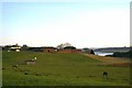
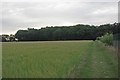
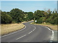
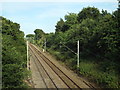
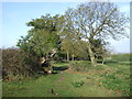
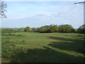
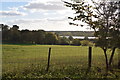
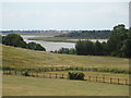
22 photos from this area
Area Information
Key information about the CO7 8AH including its size, population, and administrative classification.
- Area Type
- Postcode
- Area Size
- 43.8 hectares
- Population
- 2464
- Population Density
- 363 people/km²
House Prices in CO7 8AH
32
Properties
£378,633
Average Sold Price
£135,000
Lowest Price
£610,000
Highest Price
Showing 32 properties
| Address | Type | Beds | Baths | Last Sale Price | Last Sale Date | |
|---|---|---|---|---|---|---|
| 183 Wivenhoe Road, Alresford, CO7 8AH | Bungalow | 4 | 1 | £435,000 | Aug 2025 | |
| 174 Wivenhoe Road, Alresford, CO7 8AH | Detached | 5 | 2 | £565,000 | Feb 2025 | |
| 178 Wivenhoe Road, Alresford, CO7 8AH | Bungalow | 4 | 1 | £417,500 | Oct 2024 | |
| Partnerships In Care Ltd, Elm House, 192 Wivenhoe Road, Alresford, CO7 8AH | hospital_care_home | - | - | £400,000 | Oct 2023 | |
| 199 Wivenhoe Road, Alresford, CO7 8AH | Detached | 6 | 3 | £500,000 | Jul 2022 | |
| 188 Wivenhoe Road, Alresford, CO7 8AH | Detached | 5 | - | £475,000 | Nov 2020 | |
| 180 Wivenhoe Road, Alresford, CO7 8AH | Detached | 6 | 2 | £610,000 | Oct 2019 | |
| 185 Wivenhoe Road, Alresford, CO7 8AH | Bungalow | 5 | 1 | £420,000 | Dec 2017 | |
| 191 Wivenhoe Road, Alresford, CO7 8AH | Bungalow | - | - | £345,000 | Dec 2009 | |
| Dormers, 196 Wivenhoe Road, Alresford, CO7 8AH | Detached | 5 | 2 | £450,000 | Jun 2009 |
Page 1 of 4
Energy Efficiency in CO7 8AH
Amenities
Schools
| Rank | School | Type | Entry gender | Ages |
|---|
Explore more schools in this area
Go to Schools tabDemographics
Household Size
Two person
most common
Accommodation Type
Houses
most common
Tenure
87
majority
Ethnic Group
White
most common
Religion
N/A
most common
Household Composition
N/A
most common
Age
47
median
Adults (30-64 years)
most common
Household Deprivation
N/A
with no deprivation
NS-SEC
32
in Lower managerial occupations
Explore more demographic insights in this area
Go to Demographics tabPlanning
Planning Constraints
- Flood RiskPremium
- Ramsar Wetland SitesPremium
- Area of Outstanding Natural BeautyPremium
- Protected Nature ReservePremium
- Protected WoodlandPremium