Area Overview for CO7 7DR
Photos of CO7 7DR
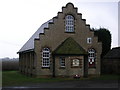
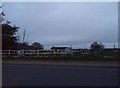
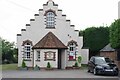
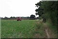
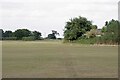
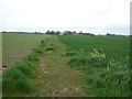
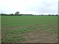
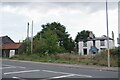
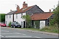
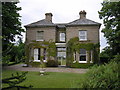
11 photos from this area
Area Information
Key information about the CO7 7DR including its size, population, and administrative classification.
- Area Type
- Postcode
- Area Size
- 8.6 hectares
- Population
- 2051
- Population Density
- 156 people/km²
House Prices in CO7 7DR
28
Properties
£240,143
Average Sold Price
£58,000
Lowest Price
£490,000
Highest Price
Showing 28 properties
| Address | Type | Beds | Baths | Last Sale Price | Last Sale Date | |
|---|---|---|---|---|---|---|
| Conifers, Bromley Road, Frating, CO7 7DR | Chalet | 3 | 1 | £375,000 | Mar 2025 | |
| Willow Cottage, Bromley Road, Frating, CO7 7DR | Detached | 4 | 2 | £490,000 | Jun 2021 | |
| 13, Council Houses, Bromley Road, Frating, CO7 7DR | house | 3 | - | £158,000 | Nov 2011 | |
| Freshfields, Bromley Road, Frating, CO7 7DR | Detached | - | - | £360,000 | May 2007 | |
| 12, Council Houses, Bromley Road, Frating, CO7 7DR | Semi-detached | - | - | £145,000 | Apr 2004 | |
| 14, Council Houses, Bromley Road, Frating, CO7 7DR | Semi-detached | - | - | £95,000 | Dec 2001 | |
| 16, Council Houses, Bromley Road, Frating, CO7 7DR | Semi-detached | - | - | £58,000 | Jun 1998 | |
| Tudor Rose, Bromley Road, Frating, CO7 7DR | Detached | 3 | 1 | - | - | |
| 9, Council Houses, Bromley Road, Frating, CO7 7DR | Semi-detached | 3 | 1 | - | - | |
| Clovers, Bromley Road, Frating, CO7 7DR | Detached | 3 | 1 | - | - |
Page 1 of 3
Energy Efficiency in CO7 7DR
Amenities
Schools
| Rank | School | Type | Entry gender | Ages |
|---|
Explore more schools in this area
Go to Schools tabDemographics
Household Size
Two person
most common
Accommodation Type
Houses
most common
Tenure
89
majority
Ethnic Group
White
most common
Religion
N/A
most common
Household Composition
N/A
most common
Age
47
median
Adults (30-64 years)
most common
Household Deprivation
N/A
with no deprivation
NS-SEC
32
in Lower managerial occupations
Explore more demographic insights in this area
Go to Demographics tabPlanning
Planning Constraints
- Flood RiskPremium
- Ramsar Wetland SitesPremium
- Area of Outstanding Natural BeautyPremium
- Protected Nature ReservePremium
- Protected WoodlandPremium