Area Overview for CO7 7AL
Photos of CO7 7AL
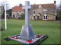

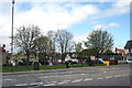
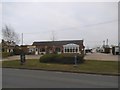

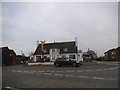
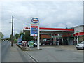
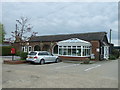
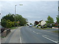
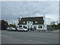
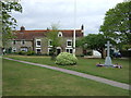
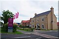
25 photos from this area
Area Information
Key information about the CO7 7AL including its size, population, and administrative classification.
- Area Type
- Postcode
- Area Size
- 1.3 hectares
- Population
- 1554
- Population Density
- 1412 people/km²
House Prices in CO7 7AL
36
Properties
£156,833
Average Sold Price
£49,000
Lowest Price
£275,000
Highest Price
Showing 36 properties
| Address | Type | Beds | Baths | Last Sale Price | Last Sale Date | |
|---|---|---|---|---|---|---|
| 13 Johnsons Drive, Elmstead, CO7 7AL | Flat | - | - | £191,000 | Nov 2024 | |
| 22 Johnsons Drive, Elmstead, CO7 7AL | Maisonette | 2 | 1 | £185,000 | Jun 2024 | |
| 6 Johnsons Drive, Elmstead, CO7 7AL | house | - | - | £275,000 | Apr 2024 | |
| 20 Johnsons Drive, Elmstead, CO7 7AL | Maisonette | 2 | 1 | £190,000 | Dec 2023 | |
| 18 Johnsons Drive, Elmstead, CO7 7AL | Maisonette | 2 | 1 | £197,500 | Jul 2022 | |
| 14 Johnsons Drive, Elmstead, CO7 7AL | Maisonette | 2 | 1 | £129,000 | Mar 2020 | |
| 1 Johnsons Drive, Elmstead, CO7 7AL | Flat | 2 | 1 | £145,000 | May 2019 | |
| 32 Johnsons Drive, Elmstead, CO7 7AL | house | - | - | £270,000 | May 2018 | |
| 4 Johnsons Drive, Elmstead, CO7 7AL | Flat | - | - | £107,000 | Aug 2013 | |
| 27 Johnsons Drive, Elmstead, CO7 7AL | house | - | - | £163,500 | Jan 2013 |
Page 1 of 4
Energy Efficiency in CO7 7AL
Amenities
Schools
| Rank | School | Type | Entry gender | Ages |
|---|
Explore more schools in this area
Go to Schools tabDemographics
Household Size
Two person
most common
Accommodation Type
Houses
most common
Tenure
80
majority
Ethnic Group
White
most common
Religion
N/A
most common
Household Composition
N/A
most common
Age
47
median
Adults (30-64 years)
most common
Household Deprivation
N/A
with no deprivation
NS-SEC
34
in Lower managerial occupations
Explore more demographic insights in this area
Go to Demographics tabPlanning
Planning Constraints
- Flood RiskPremium
- Ramsar Wetland SitesPremium
- Area of Outstanding Natural BeautyPremium
- Protected Nature ReservePremium
- Protected WoodlandPremium