Area Overview for CO7 6SH
Photos of CO7 6SH
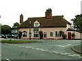
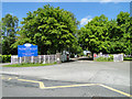
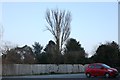
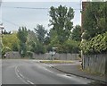
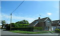
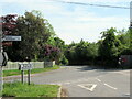
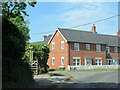
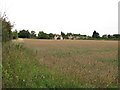
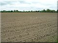
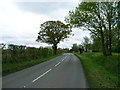
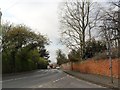
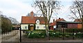
27 photos from this area
Area Information
Key information about the CO7 6SH including its size, population, and administrative classification.
- Area Type
- Postcode
- Area Size
- 2.0 hectares
- Population
- 1522
- Population Density
- 250 people/km²
House Prices in CO7 6SH
50
Properties
£170,163
Average Sold Price
£44,500
Lowest Price
£315,000
Highest Price
Showing 50 properties
| Address | Type | Beds | Baths | Last Sale Price | Last Sale Date | |
|---|---|---|---|---|---|---|
| 9 Elm Estate, East Bergholt, CO7 6SH | Semi-detached | 3 | 2 | £297,000 | Mar 2025 | |
| 11 Elm Estate, East Bergholt, CO7 6SH | Semi-detached | 3 | 2 | £315,000 | Feb 2025 | |
| 28 Elm Estate, East Bergholt, CO7 6SH | Semi-detached | 3 | 1 | £290,000 | Nov 2024 | |
| 17 Elm Estate, East Bergholt, CO7 6SH | Flat | 2 | 1 | £165,000 | Jan 2023 | |
| 41 Elm Estate, East Bergholt, CO7 6SH | Flat | 2 | - | £139,000 | Sep 2020 | |
| 36 Elm Estate, East Bergholt, CO7 6SH | Semi-detached | 3 | - | £173,000 | Dec 2015 | |
| 13 Elm Estate, East Bergholt, CO7 6SH | Flat | 2 | - | £132,500 | Aug 2014 | |
| 1 Elm Estate, East Bergholt, CO7 6SH | Bungalow | - | - | £189,950 | Dec 2009 | |
| 15 Elm Estate, East Bergholt, CO7 6SH | Flat | - | - | £80,000 | Dec 2008 | |
| 35 Elm Estate, East Bergholt, CO7 6SH | Semi-detached | - | - | £149,500 | May 2004 |
Page 1 of 5
Energy Efficiency in CO7 6SH
Amenities
Schools
| Rank | School | Type | Entry gender | Ages |
|---|
Explore more schools in this area
Go to Schools tabDemographics
Household Size
Two person
most common
Accommodation Type
Houses
most common
Tenure
74
majority
Ethnic Group
White
most common
Religion
N/A
most common
Household Composition
N/A
most common
Age
47
median
Adults (30-64 years)
most common
Household Deprivation
N/A
with no deprivation
NS-SEC
42
in Lower managerial occupations
Explore more demographic insights in this area
Go to Demographics tabPlanning
Planning Constraints
- Flood RiskPremium
- Ramsar Wetland SitesPremium
- Area of Outstanding Natural BeautyPremium
- Protected Nature ReservePremium
- Protected WoodlandPremium