Area Overview for CO7 6RN
Photos of CO7 6RN
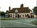
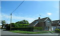
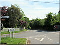
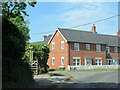
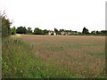
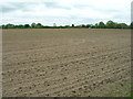
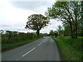
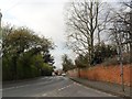
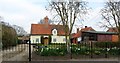
27 photos from this area
Area Information
Key information about the CO7 6RN including its size, population, and administrative classification.
- Area Type
- Postcode
- Area Size
- 2.0 hectares
- Population
- 2028
- Population Density
- 113 people/km²
House Prices in CO7 6RN
24
Properties
£329,767
Average Sold Price
£188,300
Lowest Price
£435,000
Highest Price
Showing 24 properties
| Address | Type | Beds | Baths | Last Sale Price | Last Sale Date | |
|---|---|---|---|---|---|---|
| 56 Chaplin Road, East Bergholt, CO7 6RN | Bungalow | 2 | 1 | £368,000 | Nov 2024 | |
| 52 Chaplin Road, East Bergholt, CO7 6RN | Bungalow | 2 | 1 | £370,000 | Oct 2022 | |
| 62 Chaplin Road, East Bergholt, CO7 6RN | Bungalow | 3 | - | £435,000 | Dec 2020 | |
| 54 Chaplin Road, East Bergholt, CO7 6RN | Detached | 2 | 1 | £267,500 | Nov 2019 | |
| 75 Chaplin Road, East Bergholt, CO7 6RN | Detached | 3 | 1 | £407,000 | Jun 2019 | |
| 73 Chaplin Road, East Bergholt, CO7 6RN | Detached | 5 | 1 | £385,000 | Oct 2018 | |
| 58 Chaplin Road, East Bergholt, CO7 6RN | Bungalow | 3 | 1 | £350,000 | Jul 2018 | |
| 77 Chaplin Road, East Bergholt, CO7 6RN | Detached | 4 | 2 | £400,000 | May 2018 | |
| 83 Chaplin Road, East Bergholt, CO7 6RN | Detached | 3 | 1 | £315,000 | Apr 2018 | |
| 63 Chaplin Road, East Bergholt, CO7 6RN | house | - | - | £350,000 | Apr 2016 |
Page 1 of 3
Energy Efficiency in CO7 6RN
Amenities
Schools
| Rank | School | Type | Entry gender | Ages |
|---|
Explore more schools in this area
Go to Schools tabDemographics
Household Size
Two person
most common
Accommodation Type
Houses
most common
Tenure
84
majority
Ethnic Group
White
most common
Religion
N/A
most common
Household Composition
N/A
most common
Age
47
median
Adults (30-64 years)
most common
Household Deprivation
N/A
with no deprivation
NS-SEC
40
in Lower managerial occupations
Explore more demographic insights in this area
Go to Demographics tabPlanning
Planning Constraints
- Flood RiskPremium
- Ramsar Wetland SitesPremium
- Area of Outstanding Natural BeautyPremium
- Protected Nature ReservePremium
- Protected WoodlandPremium