Area Overview for CO7 6QN
Photos of CO7 6QN
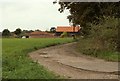
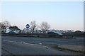
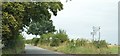
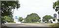
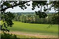
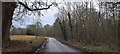
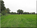
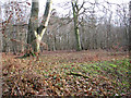
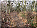
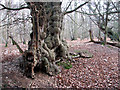
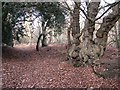
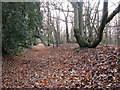
38 photos from this area
Area Information
Key information about the CO7 6QN including its size, population, and administrative classification.
- Area Type
- Postcode
- Area Size
- 1.8 hectares
- Population
- 1522
- Population Density
- 250 people/km²
House Prices in CO7 6QN
43
Properties
£229,792
Average Sold Price
£75,000
Lowest Price
£530,000
Highest Price
Showing 43 properties
| Address | Type | Beds | Baths | Last Sale Price | Last Sale Date | |
|---|---|---|---|---|---|---|
| 34 Collingwood Fields, East Bergholt, CO7 6QN | Terraced | 2 | 1 | £225,000 | Dec 2025 | |
| 16 Collingwood Fields, East Bergholt, CO7 6QN | Detached | 3 | 1 | £320,000 | Jul 2025 | |
| 37 Collingwood Fields, East Bergholt, CO7 6QN | Detached | 3 | 2 | £360,000 | Sep 2024 | |
| 3 Collingwood Fields, East Bergholt, CO7 6QN | Detached | 4 | 2 | £530,000 | May 2024 | |
| 31 Collingwood Fields, East Bergholt, CO7 6QN | Terraced | 2 | 1 | £236,000 | Oct 2022 | |
| 44 Collingwood Fields, East Bergholt, CO7 6QN | house | - | - | £427,000 | Jun 2021 | |
| 20 Collingwood Fields, East Bergholt, CO7 6QN | house | - | - | £185,000 | Mar 2020 | |
| 28 Collingwood Fields, East Bergholt, CO7 6QN | Terraced | 2 | 1 | £216,500 | May 2018 | |
| 5 Collingwood Fields, East Bergholt, CO7 6QN | Detached | 4 | - | £350,000 | Aug 2017 | |
| 43 Collingwood Fields, East Bergholt, CO7 6QN | Detached | 4 | 2 | £360,500 | May 2016 |
Page 1 of 5
Energy Efficiency in CO7 6QN
Amenities
Schools
| Rank | School | Type | Entry gender | Ages |
|---|
Explore more schools in this area
Go to Schools tabDemographics
Household Size
Two person
most common
Accommodation Type
Houses
most common
Tenure
74
majority
Ethnic Group
White
most common
Religion
N/A
most common
Household Composition
N/A
most common
Age
47
median
Adults (30-64 years)
most common
Household Deprivation
N/A
with no deprivation
NS-SEC
42
in Lower managerial occupations
Explore more demographic insights in this area
Go to Demographics tabPlanning
Planning Constraints
- Flood RiskPremium
- Ramsar Wetland SitesPremium
- Area of Outstanding Natural BeautyPremium
- Protected Nature ReservePremium
- Protected WoodlandPremium