Area Overview for CO7 6BT
Photos of CO7 6BT
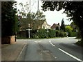
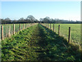
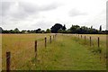
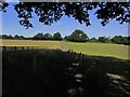
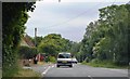
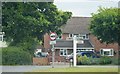
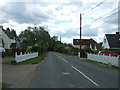
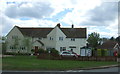
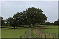
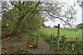
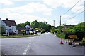
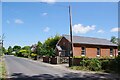
27 photos from this area
Area Information
Key information about the CO7 6BT including its size, population, and administrative classification.
- Area Type
- Postcode
- Area Size
- 5.1 hectares
- Population
- 1657
- Population Density
- 233 people/km²
House Prices in CO7 6BT
18
Properties
£635,917
Average Sold Price
£78,000
Lowest Price
£1,150,000
Highest Price
Showing 18 properties
| Address | Type | Beds | Baths | Last Sale Price | Last Sale Date | |
|---|---|---|---|---|---|---|
| Creg Ny Baa, The Heath, Dedham, CO7 6BT | house | 4 | 3 | £805,000 | Feb 2025 | |
| Ivy Cottage, The Heath, Dedham, CO7 6BT | Detached | 5 | 3 | £1,150,000 | Nov 2022 | |
| Saddlers Cottage, The Heath, Dedham, CO7 6BT | house | - | - | £790,000 | Dec 2020 | |
| Armeria, The Heath, Dedham, CO7 6BT | house | - | - | £530,000 | Nov 2018 | |
| Westfield House, The Heath, Dedham, CO7 6BT | Detached | 4 | 3 | £565,000 | Jan 2018 | |
| Toad Hall, The Heath, Dedham, CO7 6BT | house | - | - | £665,000 | Jan 2010 | |
| Bloom House, The Heath, Dedham, CO7 6BT | Detached | - | - | £480,000 | Nov 2009 | |
| Heath View, The Heath, Dedham, CO7 6BT | house | - | - | £610,000 | Jun 2009 | |
| Heath House, The Heath, Dedham, CO7 6BT | Detached | - | - | £850,000 | Jan 2008 | |
| Malting Cottage, The Heath, Dedham, CO7 6BT | Detached | - | - | £770,000 | Oct 2007 |
Page 1 of 2
Energy Efficiency in CO7 6BT
Amenities
Schools
| Rank | School | Type | Entry gender | Ages |
|---|
Explore more schools in this area
Go to Schools tabDemographics
Household Size
Two person
most common
Accommodation Type
Houses
most common
Tenure
76
majority
Ethnic Group
White
most common
Religion
N/A
most common
Household Composition
N/A
most common
Age
47
median
Adults (30-64 years)
most common
Household Deprivation
N/A
with no deprivation
NS-SEC
45
in Lower managerial occupations
Explore more demographic insights in this area
Go to Demographics tabPlanning
Planning Constraints
- Flood RiskPremium
- Ramsar Wetland SitesPremium
- Area of Outstanding Natural BeautyPremium
- Protected Nature ReservePremium
- Protected WoodlandPremium