Area Overview for CO7 0EU
Photos of CO7 0EU
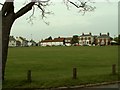
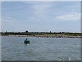
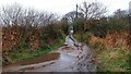
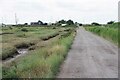
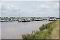
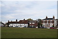
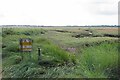
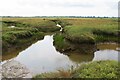
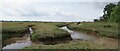
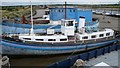
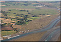
11 photos from this area
Area Information
Key information about the CO7 0EU including its size, population, and administrative classification.
- Area Type
- Postcode
- Area Size
- 8028 m²
- Population
- 1957
- Population Density
- 673 people/km²
House Prices in CO7 0EU
19
Properties
£163,553
Average Sold Price
£39,000
Lowest Price
£287,000
Highest Price
Showing 19 properties
| Address | Type | Beds | Baths | Last Sale Price | Last Sale Date | |
|---|---|---|---|---|---|---|
| 14 Whitegate Road, Brightlingsea, CO7 0EU | Bungalow | 1 | 1 | £235,000 | Dec 2025 | |
| 12 Whitegate Road, Brightlingsea, CO7 0EU | Bungalow | - | - | £198,000 | Jan 2022 | |
| 37 Whitegate Road, Brightlingsea, CO7 0EU | Semi-detached | 2 | 1 | £239,950 | Jan 2021 | |
| 17 Whitegate Road, Brightlingsea, CO7 0EU | house | 3 | - | £287,000 | Sep 2020 | |
| 33 Whitegate Road, Brightlingsea, CO7 0EU | Bungalow | 2 | - | £175,000 | Jul 2017 | |
| 35 Whitegate Road, Brightlingsea, CO7 0EU | Bungalow | - | - | £187,500 | Jun 2016 | |
| 27 Whitegate Road, Brightlingsea, CO7 0EU | Semi-detached | 3 | 1 | £194,000 | Nov 2015 | |
| 23 Whitegate Road, Brightlingsea, CO7 0EU | Semi-detached | - | - | £94,500 | Jan 2014 | |
| 18 Whitegate Road, Brightlingsea, CO7 0EU | Bungalow | 2 | - | £167,000 | Feb 2013 | |
| 39 Whitegate Road, Brightlingsea, CO7 0EU | Bungalow | 2 | - | £146,000 | Aug 2012 |
Page 1 of 2
Energy Efficiency in CO7 0EU
Amenities
Schools
| Rank | School | Type | Entry gender | Ages |
|---|
Explore more schools in this area
Go to Schools tabDemographics
Household Size
Two person
most common
Accommodation Type
Houses
most common
Tenure
80
majority
Ethnic Group
White
most common
Religion
N/A
most common
Household Composition
N/A
most common
Age
47
median
Adults (30-64 years)
most common
Household Deprivation
N/A
with no deprivation
NS-SEC
33
in Lower managerial occupations
Explore more demographic insights in this area
Go to Demographics tabPlanning
Planning Constraints
- Flood RiskPremium
- Ramsar Wetland SitesPremium
- Area of Outstanding Natural BeautyPremium
- Protected Nature ReservePremium
- Protected WoodlandPremium