Area Overview for CO6 3AX
Photos of CO6 3AX
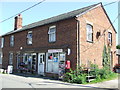
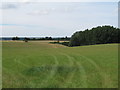
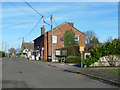
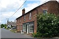
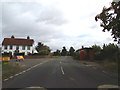
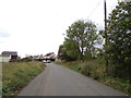
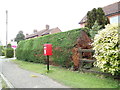
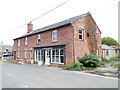
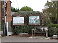
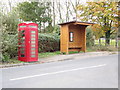
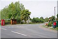
22 photos from this area
Area Information
Key information about the CO6 3AX including its size, population, and administrative classification.
- Area Type
- Postcode
- Area Size
- 31.8 hectares
- Population
- 1488
- Population Density
- 68 people/km²
House Prices in CO6 3AX
29
Properties
£360,679
Average Sold Price
£22,000
Lowest Price
£600,000
Highest Price
Showing 29 properties
| Address | Type | Beds | Baths | Last Sale Price | Last Sale Date | |
|---|---|---|---|---|---|---|
| Queens Head House, Main Road, Wormingford, CO6 3AX | Detached | 4 | 2 | £567,000 | Mar 2021 | |
| Maybel, Main Road, Wormingford, CO6 3AX | house | - | - | £559,000 | Aug 2018 | |
| Elizabeths, Main Road, Wormingford, CO6 3AX | Semi-detached | - | - | £555,000 | Aug 2018 | |
| Victoria House, Main Road, Wormingford, CO6 3AX | Detached | 5 | 4 | £22,000 | Mar 2017 | |
| Queenswood Farm, Main Road, Wormingford, CO6 3AX | house | - | - | £600,000 | Jul 2016 | |
| Oast House, Main Road, Wormingford, CO6 3AX | Detached | 3 | 2 | £310,000 | Jun 2016 | |
| Meadow View, Main Road, Wormingford, CO6 3AX | house | - | - | £515,000 | Oct 2015 | |
| Charnwood, Main Road, Wormingford, CO6 3AX | Detached | 4 | - | £318,000 | May 2012 | |
| The Gables, Main Road, Wormingford, CO6 3AX | Detached | - | - | £349,000 | Sep 2009 | |
| Willows, Main Road, Wormingford, CO6 3AX | Detached | - | - | £209,000 | Apr 2004 |
Page 1 of 3
Energy Efficiency in CO6 3AX
Amenities
Schools
| Rank | School | Type | Entry gender | Ages |
|---|
Explore more schools in this area
Go to Schools tabDemographics
Household Size
Two person
most common
Accommodation Type
Houses
most common
Tenure
77
majority
Ethnic Group
White
most common
Religion
N/A
most common
Household Composition
N/A
most common
Age
47
median
Adults (30-64 years)
most common
Household Deprivation
N/A
with no deprivation
NS-SEC
39
in Lower managerial occupations
Explore more demographic insights in this area
Go to Demographics tabPlanning
Planning Constraints
- Flood RiskPremium
- Ramsar Wetland SitesPremium
- Area of Outstanding Natural BeautyPremium
- Protected Nature ReservePremium
- Protected WoodlandPremium