Area Overview for CO6 2JG
Photos of CO6 2JG
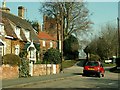
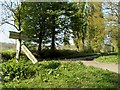
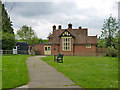
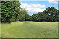
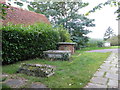
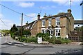
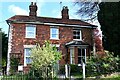
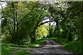
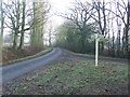
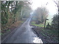
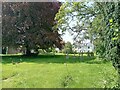
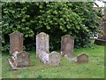
12 photos from this area
Area Information
Key information about the CO6 2JG including its size, population, and administrative classification.
- Area Type
- Postcode
- Area Size
- 41.2 hectares
- Population
- 1818
- Population Density
- 174 people/km²
House Prices in CO6 2JG
9
Properties
£516,500
Average Sold Price
£348,000
Lowest Price
£685,000
Highest Price
Showing 9 properties
| Address | Type | Beds | Baths | Last Sale Price | Last Sale Date | |
|---|---|---|---|---|---|---|
| Buntings Green Cottage, Halstead Road, Colne Engaine, CO6 2JG | Detached | 4 | - | £685,000 | Oct 2014 | |
| Pump Cottage, Halstead Road, Colne Engaine, CO6 2JG | Semi-detached | - | - | £348,000 | Sep 2007 | |
| Knights Barn, Halstead Road, Colne Engaine, CO6 2JG | Detached | 4 | 3 | - | - | |
| Rukee Cottage, Halstead Road, Colne Engaine, CO6 2JG | Detached | - | - | - | - | |
| Gate Cottage, Knights Farm, Halstead Road, Colne Engaine, CO6 2JG | Detached | - | - | - | - | |
| Trevose Cottage, Halstead Road, Colne Engaine, CO6 2JG | Semi-detached | - | - | - | - | |
| The Lodge, Knights Farm, Halstead Road, Colne Engaine, CO6 2JG | Bungalow | - | - | - | - | |
| Church Leys, Halstead Road, Colne Engaine, CO6 2JG | house | - | - | - | - | |
| The Old Dairy, Knights Barn, Halstead Road, Colne Engaine, CO6 2JG | Farm | - | - | - | - |
Energy Efficiency in CO6 2JG
Amenities
Schools
| Rank | School | Type | Entry gender | Ages |
|---|
Explore more schools in this area
Go to Schools tabDemographics
Household Size
Two person
most common
Accommodation Type
Houses
most common
Tenure
81
majority
Ethnic Group
White
most common
Religion
N/A
most common
Household Composition
N/A
most common
Age
47
median
Adults (30-64 years)
most common
Household Deprivation
N/A
with no deprivation
NS-SEC
38
in Lower managerial occupations
Explore more demographic insights in this area
Go to Demographics tabPlanning
Planning Constraints
- Flood RiskPremium
- Ramsar Wetland SitesPremium
- Area of Outstanding Natural BeautyPremium
- Protected Nature ReservePremium
- Protected WoodlandPremium