Area Overview for CO6 1DJ
Photos of CO6 1DJ
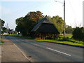
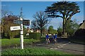
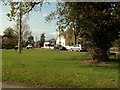
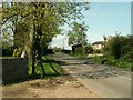
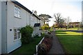
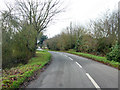
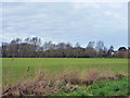
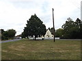
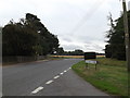
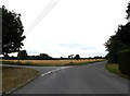
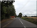
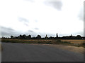
19 photos from this area
Area Information
Key information about the CO6 1DJ including its size, population, and administrative classification.
- Area Type
- Postcode
- Area Size
- 53.3 hectares
- Population
- 1726
- Population Density
- 199 people/km²
House Prices in CO6 1DJ
18
Properties
£471,310
Average Sold Price
£250,000
Lowest Price
£649,550
Highest Price
Showing 18 properties
| Address | Type | Beds | Baths | Last Sale Price | Last Sale Date | |
|---|---|---|---|---|---|---|
| Mulberry Lodge, Rectory Road, Copford, CO6 1DJ | Bungalow | 3 | 2 | £540,000 | Mar 2025 | |
| 2, Bywater Cottage, Rectory Road, Copford, CO6 1DJ | Terraced | 2 | - | £250,000 | Jan 2022 | |
| Pantiles, Rectory Road, Copford, CO6 1DJ | Detached | - | - | £525,000 | Oct 2019 | |
| Duli Verj, Rectory Road, Copford, CO6 1DJ | Detached | 3 | 2 | £392,000 | Jan 2018 | |
| Golden Acres, Rectory Road, Copford, CO6 1DJ | Detached | 4 | - | £649,550 | Jul 2016 | |
| 3, Rectory Cottages, Rectory Road, Copford, CO6 1DJ | Terraced | 2 | 1 | - | - | |
| 2, Rectory Cottages, Rectory Road, Copford, CO6 1DJ | Terraced | 2 | 1 | - | - | |
| 1, Mulberry Green Cottage, Rectory Road, Copford, CO6 1DJ | Semi-detached | - | - | - | - | |
| 1, Bywater Cottage, Rectory Road, Copford, CO6 1DJ | house | - | - | - | - | |
| Mulberry Green Barn, Rectory Road, Copford, CO6 1DJ | house | - | - | - | - |
Page 1 of 2
Energy Efficiency in CO6 1DJ
Amenities
Schools
| Rank | School | Type | Entry gender | Ages |
|---|
Explore more schools in this area
Go to Schools tabDemographics
Household Size
Family (3-5 people)
most common
Accommodation Type
Houses
most common
Tenure
81
majority
Ethnic Group
White
most common
Religion
N/A
most common
Household Composition
N/A
most common
Age
47
median
Adults (30-64 years)
most common
Household Deprivation
N/A
with no deprivation
NS-SEC
43
in Lower managerial occupations
Explore more demographic insights in this area
Go to Demographics tabPlanning
Planning Constraints
- Flood RiskPremium
- Ramsar Wetland SitesPremium
- Area of Outstanding Natural BeautyPremium
- Protected Nature ReservePremium
- Protected WoodlandPremium