Area Overview for CO5 9LY
Photos of CO5 9LY
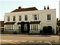

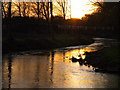
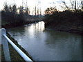
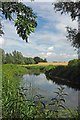
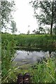
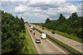
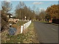

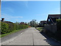
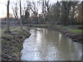
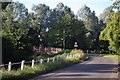
44 photos from this area
Area Information
Key information about the CO5 9LY including its size, population, and administrative classification.
- Area Type
- Postcode
- Area Size
- 2.1 hectares
- Population
- 2027
- Population Density
- 3620 people/km²
House Prices in CO5 9LY
40
Properties
£273,761
Average Sold Price
£84,000
Lowest Price
£500,000
Highest Price
Showing 40 properties
| Address | Type | Beds | Baths | Last Sale Price | Last Sale Date | |
|---|---|---|---|---|---|---|
| 8 Riverside Way, Kelvedon, CO5 9LY | Semi-detached | 3 | 2 | £380,000 | Mar 2025 | |
| 48 Riverside Way, Kelvedon, CO5 9LY | Detached | 4 | 2 | £475,000 | Feb 2024 | |
| 66 Riverside Way, Kelvedon, CO5 9LY | house | - | - | £500,000 | Mar 2021 | |
| 56 Riverside Way, Kelvedon, CO5 9LY | Detached | 4 | - | £392,500 | Jan 2021 | |
| 76 Riverside Way, Kelvedon, CO5 9LY | Detached | 4 | 1 | £390,000 | Oct 2020 | |
| 6 Riverside Way, Kelvedon, CO5 9LY | Detached | 4 | 2 | £400,000 | Aug 2020 | |
| 26 Riverside Way, Kelvedon, CO5 9LY | Semi-detached | 3 | 2 | £320,000 | Nov 2019 | |
| 46 Riverside Way, Kelvedon, CO5 9LY | house | - | - | £415,000 | Jun 2017 | |
| 80 Riverside Way, Kelvedon, CO5 9LY | Detached | 4 | 2 | £430,000 | Nov 2016 | |
| 14 Riverside Way, Kelvedon, CO5 9LY | Detached | 3 | 1 | £325,000 | Apr 2016 |
Page 1 of 4
Energy Efficiency in CO5 9LY
Amenities
Schools
| Rank | School | Type | Entry gender | Ages |
|---|
Explore more schools in this area
Go to Schools tabDemographics
Household Size
Two person
most common
Accommodation Type
Houses
most common
Tenure
75
majority
Ethnic Group
White
most common
Religion
N/A
most common
Household Composition
N/A
most common
Age
47
median
Adults (30-64 years)
most common
Household Deprivation
N/A
with no deprivation
NS-SEC
46
in Lower managerial occupations
Explore more demographic insights in this area
Go to Demographics tabPlanning
Planning Constraints
- Flood RiskPremium
- Ramsar Wetland SitesPremium
- Area of Outstanding Natural BeautyPremium
- Protected Nature ReservePremium
- Protected WoodlandPremium