Area Overview for CO5 8QD
Photos of CO5 8QD
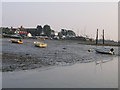
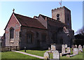
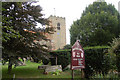
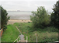
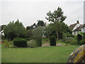
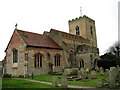
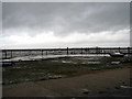
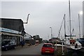
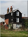
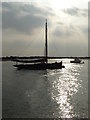
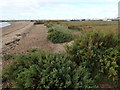
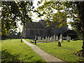
100 photos from this area
Area Information
Key information about the CO5 8QD including its size, population, and administrative classification.
- Area Type
- Postcode
- Area Size
- 8.3 hectares
- Population
- 1361
- Population Density
- 2111 people/km²
House Prices in CO5 8QD
18
Properties
£520,500
Average Sold Price
£120,000
Lowest Price
£1,375,000
Highest Price
Showing 18 properties
| Address | Type | Beds | Baths | Last Sale Price | Last Sale Date | |
|---|---|---|---|---|---|---|
| Clarrys Cottage, 10 High Street, West Mersea, CO5 8QD | Cottage | 3 | 2 | £825,000 | Oct 2025 | |
| 7 High Street, West Mersea, CO5 8QD | Semi-detached | 2 | 1 | £250,000 | May 2024 | |
| West Mersea Hall, 4 High Street, West Mersea, CO5 8QD | Detached | 4 | 2 | £1,375,000 | Aug 2023 | |
| 20 High Street, West Mersea, CO5 8QD | Flat | - | - | £205,000 | Dec 2022 | |
| 3 High Street, West Mersea, CO5 8QD | house | - | - | £340,000 | Dec 2021 | |
| 16 High Street, West Mersea, CO5 8QD | Detached | 3 | 2 | £315,000 | Feb 2020 | |
| West Hold, 2 High Street, West Mersea, CO5 8QD | Detached | 4 | - | £1,350,000 | Jul 2014 | |
| 18 High Street, West Mersea, CO5 8QD | Flat | - | - | £130,000 | Jun 2012 | |
| Hall Cottages, 22 High Street, West Mersea, CO5 8QD | Semi-detached | - | - | £120,000 | Sep 2003 | |
| West Hall Chase, 8 High Street, West Mersea, CO5 8QD | house | - | - | £295,000 | Sep 2000 |
Page 1 of 2
Energy Efficiency in CO5 8QD
Amenities
Schools
| Rank | School | Type | Entry gender | Ages |
|---|
Explore more schools in this area
Go to Schools tabDemographics
Household Size
Two person
most common
Accommodation Type
Houses
most common
Tenure
85
majority
Ethnic Group
White
most common
Religion
N/A
most common
Household Composition
N/A
most common
Age
47
median
Elderly (65+ years)
most common
Household Deprivation
N/A
with no deprivation
NS-SEC
39
in Lower managerial occupations
Explore more demographic insights in this area
Go to Demographics tabPlanning
Planning Constraints
- Flood RiskPremium
- Ramsar Wetland SitesPremium
- Area of Outstanding Natural BeautyPremium
- Protected Nature ReservePremium
- Protected WoodlandPremium