Area Overview for CO5 0AE
Photos of CO5 0AE
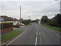
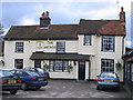
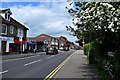
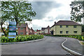
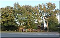
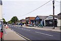
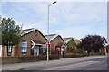
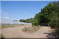
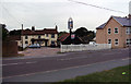
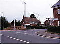
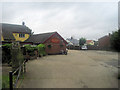
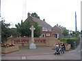
23 photos from this area
Area Information
Key information about the CO5 0AE including its size, population, and administrative classification.
- Area Type
- Postcode
- Area Size
- 5.1 hectares
- Population
- 1483
- Population Density
- 329 people/km²
House Prices in CO5 0AE
30
Properties
£533,333
Average Sold Price
£310,000
Lowest Price
£775,000
Highest Price
Showing 30 properties
| Address | Type | Beds | Baths | Last Sale Price | Last Sale Date | |
|---|---|---|---|---|---|---|
| Holly Lodge, Cherry Chase, Tiptree, CO5 0AE | house | - | - | £775,000 | Jun 2021 | |
| Melford, Cherry Chase, Tiptree, CO5 0AE | house | - | - | £515,000 | Feb 2011 | |
| Rose Villa, Cherry Chase, Tiptree, CO5 0AE | Detached | - | - | £310,000 | Sep 2004 | |
| 20 Cherry Chase, Tiptree, CO5 0AE | undefined | - | - | - | - | |
| 13 Cherry Chase, Tiptree, CO5 0AE | house | - | - | - | - | |
| 6 Cherry Chase, Tiptree, CO5 0AE | house | - | - | - | - | |
| 16 Cherry Chase, Tiptree, CO5 0AE | house | - | - | - | - | |
| 3 Cherry Chase, Tiptree, CO5 0AE | house | - | - | - | - | |
| St Albans, Cherry Chase, Tiptree, CO5 0AE | Detached | - | - | - | - | |
| 9 Cherry Chase, Tiptree, CO5 0AE | house | - | - | - | - |
Page 1 of 3
Energy Efficiency in CO5 0AE
Amenities
Schools
| Rank | School | Type | Entry gender | Ages |
|---|
Explore more schools in this area
Go to Schools tabDemographics
Household Size
Two person
most common
Accommodation Type
Houses
most common
Tenure
81
majority
Ethnic Group
White
most common
Religion
N/A
most common
Household Composition
N/A
most common
Age
47
median
Adults (30-64 years)
most common
Household Deprivation
N/A
with no deprivation
NS-SEC
35
in Lower managerial occupations
Explore more demographic insights in this area
Go to Demographics tabPlanning
Planning Constraints
- Flood RiskPremium
- Ramsar Wetland SitesPremium
- Area of Outstanding Natural BeautyPremium
- Protected Nature ReservePremium
- Protected WoodlandPremium