Area Overview for CO4 3DD
Photos of CO4 3DD
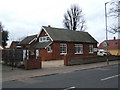
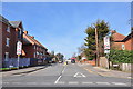
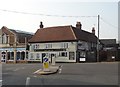
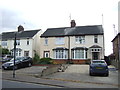
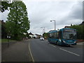
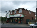
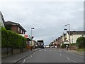
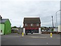
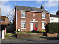
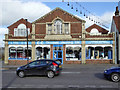
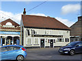
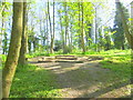
25 photos from this area
Area Information
Key information about the CO4 3DD including its size, population, and administrative classification.
- Area Type
- Postcode
- Area Size
- 7506 m²
- Population
- 1492
- Population Density
- 5186 people/km²
House Prices in CO4 3DD
36
Properties
£164,438
Average Sold Price
£45,000
Lowest Price
£280,000
Highest Price
Showing 36 properties
| Address | Type | Beds | Baths | Last Sale Price | Last Sale Date | |
|---|---|---|---|---|---|---|
| 124 Harwich Road, Colchester, CO4 3DD | Detached | 3 | - | £270,000 | Sep 2025 | |
| 174 Harwich Road, Colchester, CO4 3DD | Semi-detached | 2 | 1 | £280,000 | Oct 2024 | |
| 146 Harwich Road, Colchester, CO4 3DD | Semi-detached | 2 | 1 | £255,000 | Oct 2022 | |
| 142 Harwich Road, Colchester, CO4 3DD | Semi-detached | 2 | 2 | £220,000 | Feb 2022 | |
| 138 Harwich Road, Colchester, CO4 3DD | Semi-detached | 2 | 1 | £190,000 | Jan 2022 | |
| 160 Harwich Road, Colchester, CO4 3DD | house | 3 | - | £202,000 | Aug 2021 | |
| 158 Harwich Road, Colchester, CO4 3DD | Semi-detached | 3 | 1 | £213,000 | Nov 2019 | |
| 152 Harwich Road, Colchester, CO4 3DD | Semi-detached | 2 | 1 | £192,000 | Apr 2019 | |
| 178 Harwich Road, Colchester, CO4 3DD | Semi-detached | 3 | 1 | £198,000 | Oct 2018 | |
| Hsm Homes Ltd, 172 Harwich Road, Colchester, CO4 3DD | house | 3 | 1 | £193,000 | Aug 2018 |
Page 1 of 4
Energy Efficiency in CO4 3DD
Amenities
Schools
| Rank | School | Type | Entry gender | Ages |
|---|
Explore more schools in this area
Go to Schools tabDemographics
Household Size
One person
most common
Accommodation Type
Houses
most common
Tenure
59
majority
Ethnic Group
White
most common
Religion
N/A
most common
Household Composition
N/A
most common
Age
47
median
Adults (30-64 years)
most common
Household Deprivation
N/A
with no deprivation
NS-SEC
27
in Lower managerial occupations
Explore more demographic insights in this area
Go to Demographics tabPlanning
Planning Constraints
- Flood RiskPremium
- Ramsar Wetland SitesPremium
- Area of Outstanding Natural BeautyPremium
- Protected Nature ReservePremium
- Protected WoodlandPremium