Area Overview for CO4 3AP
Photos of CO4 3AP
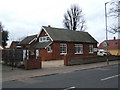
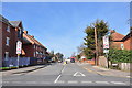
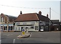
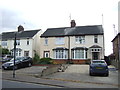
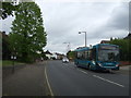
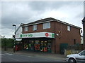
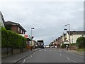
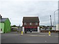
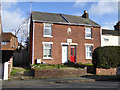
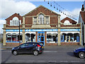
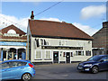
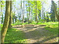
25 photos from this area
Area Information
Key information about the CO4 3AP including its size, population, and administrative classification.
- Area Type
- Postcode
- Area Size
- 1.1 hectares
- Population
- 1364
- Population Density
- 3679 people/km²
House Prices in CO4 3AP
22
Properties
£199,222
Average Sold Price
£71,950
Lowest Price
£340,000
Highest Price
Showing 22 properties
| Address | Type | Beds | Baths | Last Sale Price | Last Sale Date | |
|---|---|---|---|---|---|---|
| 30 St Andrews Avenue, Colchester, CO4 3AP | Semi-detached | 3 | 1 | £340,000 | Mar 2025 | |
| 54 St Andrews Avenue, Colchester, CO4 3AP | Semi-detached | 3 | 2 | £300,000 | Nov 2023 | |
| 32 St Andrews Avenue, Colchester, CO4 3AP | Semi-detached | 3 | 1 | £250,000 | May 2020 | |
| 42 St Andrews Avenue, Colchester, CO4 3AP | Semi-detached | 3 | 2 | £294,995 | Jun 2017 | |
| 12 St Andrews Avenue, Colchester, CO4 3AP | Semi-detached | 3 | - | £270,000 | Jan 2017 | |
| 14 St Andrews Avenue, Colchester, CO4 3AP | house | 4 | - | £235,000 | Sep 2012 | |
| 46 St Andrews Avenue, Colchester, CO4 3AP | Semi-detached | 3 | - | £176,500 | Jul 2010 | |
| 24 St Andrews Avenue, Colchester, CO4 3AP | Semi-detached | - | - | £205,000 | Mar 2007 | |
| 50 St Andrews Avenue, Colchester, CO4 3AP | house | - | - | £164,000 | Apr 2005 | |
| 44 St Andrews Avenue, Colchester, CO4 3AP | Semi-detached | 3 | 2 | £129,995 | Sep 2002 |
Page 1 of 3
Energy Efficiency in CO4 3AP
Amenities
Schools
| Rank | School | Type | Entry gender | Ages |
|---|
Explore more schools in this area
Go to Schools tabDemographics
Household Size
One person
most common
Accommodation Type
Houses
most common
Tenure
49
majority
Ethnic Group
White
most common
Religion
N/A
most common
Household Composition
N/A
most common
Age
47
median
Adults (30-64 years)
most common
Household Deprivation
N/A
with no deprivation
NS-SEC
24
in Lower managerial occupations
Explore more demographic insights in this area
Go to Demographics tabPlanning
Planning Constraints
- Flood RiskPremium
- Ramsar Wetland SitesPremium
- Area of Outstanding Natural BeautyPremium
- Protected Nature ReservePremium
- Protected WoodlandPremium