Area Overview for CO4 3AL
Photos of CO4 3AL
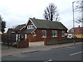
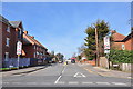
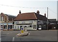
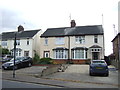
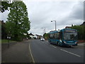
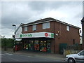
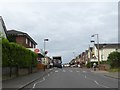
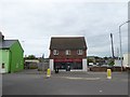
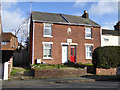
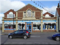
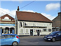
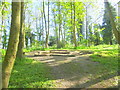
25 photos from this area
Area Information
Key information about the CO4 3AL including its size, population, and administrative classification.
- Area Type
- Postcode
- Area Size
- 1.5 hectares
- Population
- 1364
- Population Density
- 3679 people/km²
House Prices in CO4 3AL
25
Properties
£238,300
Average Sold Price
£70,000
Lowest Price
£477,000
Highest Price
Showing 25 properties
| Address | Type | Beds | Baths | Last Sale Price | Last Sale Date | |
|---|---|---|---|---|---|---|
| Willow Lodge, 84 St Andrews Avenue, Colchester, CO4 3AL | Bungalow | 3 | 2 | £350,000 | Dec 2025 | |
| 94 St Andrews Avenue, Colchester, CO4 3AL | Semi-detached | 2 | 1 | £302,500 | Jul 2025 | |
| 86 St Andrews Avenue, Colchester, CO4 3AL | Chalet | 5 | 3 | £477,000 | May 2025 | |
| 90 St Andrews Avenue, Colchester, CO4 3AL | Retail | 3 | 1 | £275,000 | Mar 2022 | |
| 116 St Andrews Avenue, Colchester, CO4 3AL | Semi-detached | 3 | - | £268,000 | May 2021 | |
| 112 St Andrews Avenue, Colchester, CO4 3AL | Semi-detached | 3 | 1 | £280,000 | Apr 2021 | |
| 102 St Andrews Avenue, Colchester, CO4 3AL | Terraced | 3 | 1 | £222,000 | Aug 2019 | |
| 124 St Andrews Avenue, Colchester, CO4 3AL | house | - | - | £280,000 | Aug 2017 | |
| 122 St Andrews Avenue, Colchester, CO4 3AL | Semi-detached | 3 | - | £170,000 | May 2015 | |
| 104 St Andrews Avenue, Colchester, CO4 3AL | Terraced | 3 | 1 | £170,000 | Dec 2014 |
Page 1 of 3
Energy Efficiency in CO4 3AL
Amenities
Schools
| Rank | School | Type | Entry gender | Ages |
|---|
Explore more schools in this area
Go to Schools tabDemographics
Household Size
One person
most common
Accommodation Type
Houses
most common
Tenure
49
majority
Ethnic Group
White
most common
Religion
N/A
most common
Household Composition
N/A
most common
Age
47
median
Adults (30-64 years)
most common
Household Deprivation
N/A
with no deprivation
NS-SEC
24
in Lower managerial occupations
Explore more demographic insights in this area
Go to Demographics tabPlanning
Planning Constraints
- Flood RiskPremium
- Ramsar Wetland SitesPremium
- Area of Outstanding Natural BeautyPremium
- Protected Nature ReservePremium
- Protected WoodlandPremium